

Apps Like South Downs Maps Offline for iPhone and iPad
South Downs Maps Offline screenshots
Ranked alternatives
Showing 181–200 of 1,000 ranked alternatives.


Handy GPS
Anthony Dunk
Seek, find, record, and return.
The app provides navigation for outdoor activities, allowing users to view their location in UTM or Lat/Lon. It supports recording and returning to waypoints, track logs, and exporting data to KML, GPX, or CSV files.


Xplorer GPS
Satmap Software Limited
Plan routes, navigate, and track your journey
Plan routes for hiking, biking, or driving with path snapping to trails, roads, and footpaths. Navigate using phone, bike computer, GPS, or Garmin watch by sharing routes via , Garmin Connect, or GPX files. Download maps for offline use.


GB Grid Converter
Geospike Pty Ltd
Convert British Grid to Lat/Long
The app converts British National Grid References to Latitude, Longitude coordinates. It displays converted coordinates in the Maps app or sends them to GPS Log.


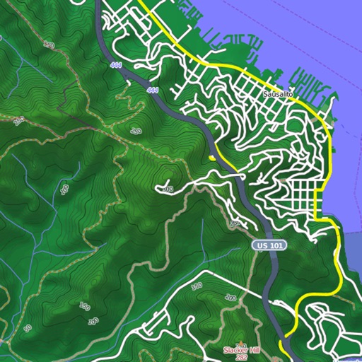
Mapster
Syzygy Research & Technology Ltd.
View maps, download trails, store routes
View and download detailed maps with topographical hillshading and contour lines. Store maps for offline use. Navigate using detailed terrain features. Find hiking trails, ski runs, and back streets.

Outdoor Südtirol
IDM Sudtirol / Alto Adige
Organize outdoor activities in South Tyrol.
The app organizes outdoor activities in South Tyrol. Users can search, filter, and explore activities on a map, with options for detailed descriptions, offline maps, and GPS directions.

OilTrails
Ash Point Ltd.
Find oil and gas locations
Find oil and gas locations across specified U.S. states. Get turn-by-turn directions. View well data and weather forecasts. Drop pins to identify locations. Share well information and coordinates.


Madrid Bus Metro Cercanías
Tetyana Syakalyuk
Plan routes, view maps, track departures
Plan routes using public transport. Access updated maps for , , and EMT buses, even offline. Check real-time departures for buses, trains, and Light Rail in Region. View scheduled timetables for buses, trains, and Light Rail. Check TTP card balance.


GBTopoMap
Right Place Resources Limited
Pan and zoom maps offline
Provide offline topographic maps of Great Britain with pan and zoom capabilities. View detailed terrain features and scale at 1:25k. Use for outdoor activities like hiking, cycling, and hunting in areas without cellular coverage.

How we rank alternatives
Apps are ranked by functional similarity, category fit, rating confidence, and popularity.