Share real-time GPS location via email, text, or social media. Recipients receive a map link showing your position. Supports multiple coordinate formats including degrees, UTM, and MGRS. Compatible with Apple Maps, Google Maps, and Bing.
by Kevin Willett★ 3.363 ratingsProductivityFreeData updated 2026-09-09
The app provides weather forecasts for Austria with 24-7 monitoring and real-time updates. It includes detailed information such as rainfall radar, perceived temperature, wind conditions, and snowfall limits.
Access real-time location data and choose from over 70 map layers for detailed boundary and land ownership info. View satellite, topographic, hybrid, and road maps. Set permissions and contact details for areas you visit.
The app provides a zoomable map that follows the aircraft's position during flights in simulator programs. Key flight variables are displayed on a side panel, and users can customize map types, aircraft icons, and units of measurement.
The app allows users to create 360-degree photos and panoramas with sound. Users can capture spherical photos by rotating their device and utilize the front or rear camera for portraits or objects.
Analyze Excel files from Zain and Asiacell for instant results. View and compare nearby towers on a map. Visualize tower sectors and identify presence patterns using location data.
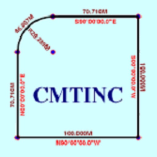
The app converts real property descriptions into boundary maps. Users enter angles and distances to draw property boundaries, displaying closure error, total area, and perimeter.
The app displays current mouse position and drag zone size in the menu bar and a panel. It offers customizable coordinate calculation, origin points, and hotkey controls for precise mouse positioning and measurement.
The app helps users take scanner-like pictures of documents and flat objects. It corrects perspective distortion and aids in focusing to preserve detail.
The app provides tools for timber stand basal area estimation and GPS data collection. Users can map land parcels, create grid points, and import or digitize features.
To locations from photos using Apple Maps integration. Share locations via iOS's built-in share sheet. Access navigation routes directly from albums. Sync with Apple Maps for accurate directions. Save and revisit location links from photos.