Monitor and control boat systems with real-time data display. Connect to Signal K servers, NMEA 0183 devices, Navico MFDs, NMEA 2000 networks, and Victron Venus GX. Customize dashboards, view sensor data, and manage device settings remotely.
View aerial maps of courses for accurate yardage measurements. Track scores and round history. Log shots and receive advanced statistics. Access over 99% of U.S. courses and courses in 22 countries. Sync with Apple Health.
And monitor locations of contacts or assets in real time. View proximity alerts, send direct messages, and access web-based features. Share positions with selected individuals and receive notifications when contacts enter or exit designated areas.
Navigate using turn-by-turn directions for driving, walking, or biking. Add stops along the route. Search for destinations in map view, list view, or both. Toggle between views for easy route planning.
View current with hourly and daily forecasts. Check real feel temperature, wind, humidity, pressure, visibility, and UV index. Access interactive radar and satellite maps for storm tracking. Monitor real-time air quality data.
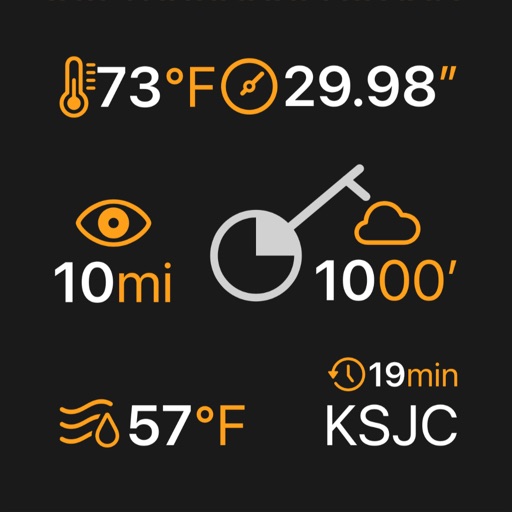
The app displays the user's actual position on digital aviation charts. It offers flight planning, route saving, and calculation of distances, flight times, and fuel consumption.