Convert paper into digital formats for or web use. Fill out on the go, capture photos or signatures, and submit data instantly. View real-time form submissions and manage workflows from a centralized dashboard.
Measure objects by taking a photo with a smartphone or tablet. Capture real-time dimensions like height, width, area, and length. Share measurements via Cloud. Sync with laser device for accurate data. Export measurements in various formats.
Monitor field conditions using rainfall and temperature data. Track issue detection alerts and receive quantified reports. Prioritize fields for scouting and navigate to at-risk areas. Record observations with quick clicks.
View real-time irrigation data from the field including soil tension, weather, and sensor readings. Access dashboard summaries to identify critical information and irrigation blocks. Manage irrigation schedules and adjust settings remotely.
Customers can submit fuel sample data through the . Input details about fuel samples, including type and measurements. Upload images or documents related to samples. Track submission status and receive confirmation.
The app allows users to log and record activities with user-definable logs for tracking desired events. It supports various data types, photo storage, and data import/export functionalities.
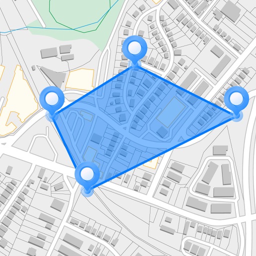
Measure areas and distances on maps by placing points and calculating the total or route length. Save and share specific locations as points of interest. Calculate GPS areas with high accuracy.
View and analyze geographic data offline without needing desktop GIS software or prior training. Collect field data, cache map sources, and share projects. Collaborate in real-time with team members and export data in multiple formats.
Receive location data via email and map it automatically. Visualize GPS coordinates with a radius overlay. Get notifications for location updates. Share mapped locations with others. Set custom radius sizes and track movement patterns.
Manage agricultural fleet operations with real-time monitoring and optimization. Coordinate meeting points and receive field directions. View next steps and prepare loads before sprayer arrival. Minimize trips and reduce waiting time in the field.
Allows users to navigate job sites in real time, perform site checks, and capture 3D models. It enables teams to access shared data, track progress, and collaborate remotely.