Measure distance by dropping pins or drawing paths on a map. Calculate total distance and segments between locations. Search and auto-complete locations. Use current location. Save and share custom maps. View Standard, Hybrid, or Satellite map types.
by Apperdashery LLC★ 4.013 ratingsUtilities$1.99Data updated 2026-09-09
Tool provides communication frequencies and runway details for major U.S., Hawaii, and Alaska airports. Filter by state or type. Search by name or IDENT code. View runway configurations and approach information.
Track riding statistics including speed, pace, distance, and elevation gain. Record and save maps with speed data for each route segment. Set up to three bells with custom .mp3 files for alerts. Save and export route information.
Save locations by tapping to add notes, tags, and categories. Plan routes with multiple points and choose navigation modes. Track location history and view saved places on a map.
Create and manage digital boards with customizable layouts. Add text, drawings, and handwritten notes. Organize tasks, set reminders, and share boards via links or email. Sync across devices and export content in various formats.
Find nearby stations with real-time distance calculations. View station locations on a map and in a list. Navigate through the system for efficient travel.
Measure distances between bowls and the jack in petanque games. Use an embedded bubble level to take photos. Tap the jack and then the bowl on the screen to calculate distances. Suitable for lawn, indoor, short mat, and carpet bowls.
The app allows users to view and edit GPS eXchange format (GPX) files on their Mac. It supports viewing GPX files from various GPS devices and apps, displaying waypoints, routes, and tracks with charts for elevation, distance, and speed.
Send notifications with customizable title, text, and image. Set alerts based on dates, times, intervals, or locations. Trigger reminders for tasks like buying medicine or remembering birthdays. Break intervals can be scheduled during work.
Search for businesses by location or keyword. View results with address, phone number, website, email, ads, and coupons. Sort by distance or relevance. Switch between list and map views. Zoom and scroll to explore areas.
Starter and stopwatch for track events. Set custom intervals between "On ," "Set," and pistol sound. Randomize the "Set" to pistol time. Save and view measured times by date. Measure distance for timing accuracy.
The app provides AR ruler functionality for measuring length, width, and height. It calculates area and distances between points, and users can save measurements and customize ruler designs.
The app helps users record wildlife sightings, capturing location coordinates and providing checklists. Users can view records on a satellite map, email them, or add new species to the database.
The app locates YESSS Electrical stores and shows their distance. It provides directions to stores using the iOS map application or installed GPS applications.
Locate lost devices via Bluetooth. View real-time location and precise distance. Guide users to devices hidden or misplaced. Supports multiple brands including Apple, Bose, and Beats. Requires pairing for functionality.
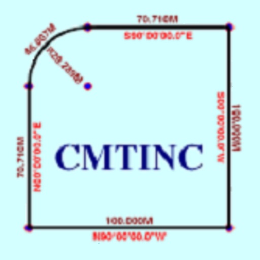
The app converts real property descriptions into boundary maps. Users enter angles and distances to draw property boundaries, displaying closure error, total area, and perimeter.