Provides flight data management with downloadable weather briefings and dual data cycle support. It includes a glide ring for descent planning and a collapsible navlog for airway and procedure tracking.
by APG Avionics, LLC★ 4.1901 ratingsNavigationFreeData updated 2026-09-09
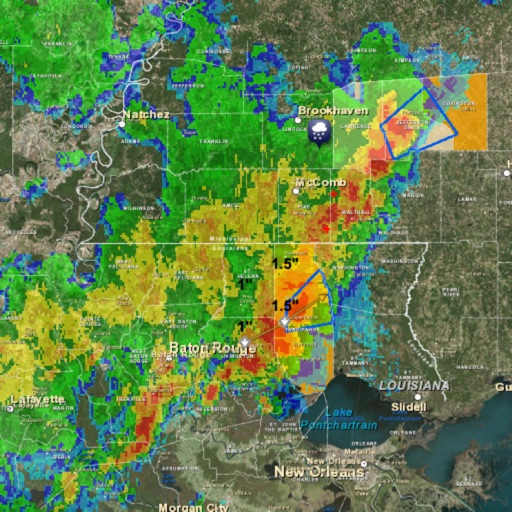
Access real-time forecasts for recreational and coastal areas. View severe weather updates and tide information. See rain radar every 7.5 minutes and 3-day rainfall forecasts with wind barbs. Check surface pressure maps.
Access real-time and TAF reports for accurate aviation weather data. View wind speed, visibility, temperature, and cloud coverage. Set location preferences and receive updates. Share reports via email or messaging.
Calculate air , altitude, and other aviation-related metrics using temperature, altitude, humidity, and atmospheric pressure. Input data can be sourced from GPS, weather stations, or entered manually.
Monitor location, heading, pressure, temperature, altitude, speed, distance, and elapsed time in real-time. Track trips, share routes, and receive comprehensive built-in instructions. Customize settings and view data on a large, easy-to-read display.
Track flight status and check-in details for Abu International . View live arrival and departure boards. Find food and restaurant options at the . Manage trips with packing list features.
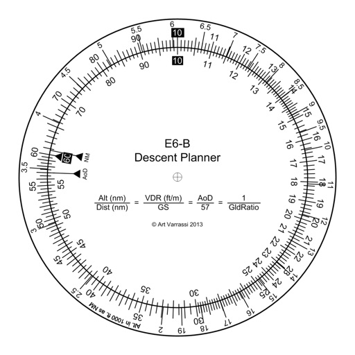
The app offers a functional circular slide rule for descent planning. It calculates top of descent distance, angle, rate, glide ratio, and maximum glide distance.
The app provides North American weather imagery, allowing users to animate it at their own speed. Users can swipe backwards for satellite photos and forwards for a week of forecast images showing upper air features and precipitation.
The app measures height using the iPhone barometer sensor and current pressure. It can use the nearest weather station or a manual reference, and also displays the current temperature.
Plan flights with AI-driven weather analysis and global airfield data. View METAR and TAF reports. Use hands-free mode to listen to briefings. Set flight routes and check airspace restrictions. Sync with aviation databases for real-time updates.