Calculate one-rep max for strength training exercises. Track progress over time for different lifts. Input weight and reps to estimate 1RM. Save and view historical max values for multiple exercises.
Use iPad as an external display for Mac or PC. Connect and control devices wirelessly. Adjust screen layout and resize windows. Share files and copy text between devices. Support for multiple monitors and drag-and-drop functionality.
Save locations with exact GPS coordinates and altitude. View real-time weather and wind data. Use the compass for accurate direction tracking. Organize saved points and share coordinates directly.
Record routes from specific locations to survey sites and display them on a map. Measure distances between coordinates or map points. Calculate areas using coordinate lists or map selections.
Distances, areas, and routes on maps using standard, satellite, terrain, and hybrid views. Calculate total area between points or along a route. Display coordinates in UTM and MGRS formats.
View and manipulate 3D models with rotation, scaling, and sectioning. Support for BIM, Revit, SolidWorks, and over 40 3D file formats. Measure distances and preview assemblies. Export and share 3D designs.
Check current using internal GPS and Wi-Fi data. View latitude and longitude in decimal degrees, degrees decimal minutes, and degrees minutes seconds. Suitable for trips, sports, geocaching, and solo travel.
Read UTM coordinates directly from the device. Rotate the phone for larger numbers. Send UTM coordinates via email or iMessage with a map link. The map link opens in any browser on smartphones or computers.
Enter MGRS or coordinate data to navigate to specific points. Adjust pace count and track deviations. View distance, speed, and angle settings in meters/km or feet/miles. Analyze movement patterns for navigation improvement.
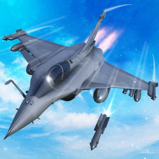
Train pilots for air combat missions. Customize jets with upgrades. Manage squad formations and tactics. Execute airstrikes on enemy positions. Track progress through mission-based challenges. Unlock new aircraft and weapons.
Get current coordinates in latitude/longitude and MGRS format along with altitude, course, and speed. Toggle features on or off to customize the interface. View accurate location data for navigation purposes.
Displays speed and distance using GPS. Tracks maximum speed with vibration alerts. Shows position and time of maximum speed on a map. Switches between light and dark modes. Notifies of GPS measurement errors. Supports motorcycles, cars, and planes.
View topographical for hiking and backcountry use. Download and manage USGS and Canadian . Zoom and pan with high clarity. Share map locations and routes. Sync with GPS devices for real-time navigation.
Point your device at a mountain to see its name, altitude, and distance. Identify peaks in a 360-degree AR view. Access data for nearly one million peaks worldwide. Uses 3D coordinates and gyroscope for accurate display.
Measure land , distance, and perimeter using GPS. Create projects, add team members, and sync measurements in real time. Set permissions for different roles and collaborate on shared projects. Export data and view detailed reports.