Determine direction using a digital . Display azimuth at the top of the screen. Navigate while hiking or traveling. Indicate north, south, east, and west. Show magnetic field orientation.
by EONSOFT★ 4.712,651 ratingsUtilitiesFreeData updated 2026-09-09
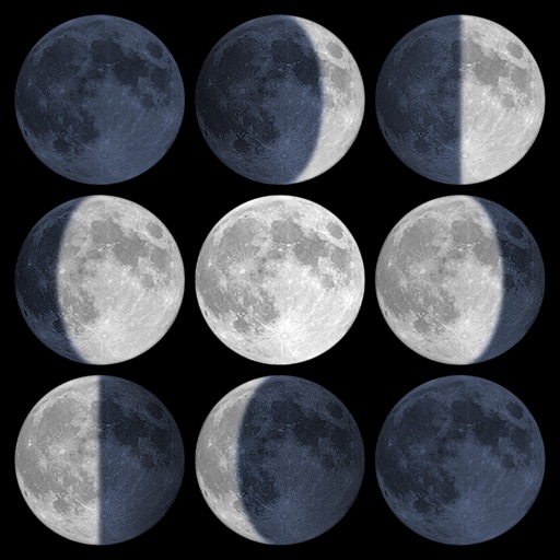
Calculate sunrise, sunset, moonrise, and moonset times based on GPS location or selected locations. Track moon phases and twilight times. Save multiple locations and sync calendars for upcoming events. Support timezone selection and iPad Split View.
Measure tilt angles using device motion. Access a , surface , and camera features. Large buttons improve visibility. Flashlight enables use in low-light conditions.
Provides daily based on location and date. Users can track Ramadan dates, fasting hours, and Quranic recitations. The includes a Quran reader with translations and audio, and allows users to set reminders for prayers and fasting.
Prayer Times are calculated based on location and sunset. Users can find Qibla direction using a compass. The includes an Calendar, Zakat Calculator, and access to Duas and Kalimas. Quranic verses can be read and shared.
Track prayer times based on GPS location and current city. View accurate Qibla direction using digital compass. Access Hijri calendar for date calculations. Set reminders for Salat. Sync with location to update prayer times automatically.
Display , latitude, altitude, and GPS speed. Show real-time weather, pressure, and wind direction. Track location with GPS and mobile sensors. View geographical data for accurate positioning.
Navigation provides GPS tracking, map navigation, and route planning. Includes tools, field manuals, and live conflict updates. Users can access guides, track locations, and receive real-time news.
Find the direction using GPS and compass. Align your device horizontally and rotate until the arrow turns green. The top of the screen indicates the direction. Adjust for different locations during travel.
Pro displays a 3D floating with true and magnetic modes using a damped rosette-style ring. It shows local sun and moon positions that update in real time. Users can adjust settings and view directional data.
Provides GPS navigation with fast lock time and precise parameters. Supports multiple systems including GPS, Galileo, GLONASS, and QZSS. Diagnoses location issues and suggests fixes. Includes latitude, longitude, and WGS84 by default.
The app displays current location information automatically. Users can view coordinates, altitude, and addresses for current or specified locations, with options to change map formats and save locations.
Plan sunrise, sunset, and moon phases with detailed Ephemeris data. Use Live Camera View to track light sources. Access an Interactive Map with Street View and a 3D Compass for location-based planning.