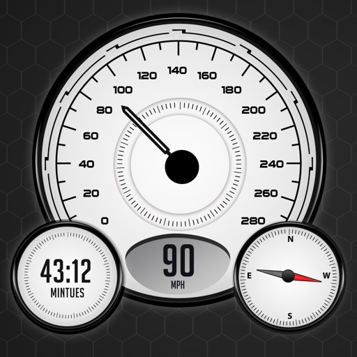
Measure speed using GPS with a digital , head-up display projection, and tracking of average speed, distance, and travel time. Log data offline, adjust settings, and access a user-friendly interface for one-handed use.
Track location, speed, and altitude with real-time GPS data. Use a digital compass for direction. Access weather information and tag locations. Share coordinates and view maps.
Track current speed with real-time GPS data. View speed and speed limits in a dynamic visual ring. Receive alerts when exceeding speed limits with color change indicators. Switch between km/h and mph. driving behavior to avoid speeding tickets.
Provide turn-by-turn GPS navigation with lane guidance and spoken instructions. Display limits and integrated detection. Automatically record routes, showing distance, time, , and cameras encountered.
The app provides information and procedures for boaters. It contains approved methods and procedures for Coast Guard boat operations, serving as a primary reference for training.
Monitor speed in real-time with a customizable interface. Display current speed, trip distance, and fuel efficiency. Set speed limits and receive alerts. Sync with Bluetooth devices for accurate readings.
Calculate land area using coordinates or map points. Measure distances between locations. Set property prices based on area. Export measurements and save data for reference.
Customize dashboards with configurable gauges like speedometer, odometer, GPS altimeter, barometric altimeter, accelerometer, artificial horizon, compass, and elapsed time. Swipe to switch views and access real-time sensor data from iPhone or iPad.
Lets users view global train track networks with three layers: standard, speed, and signals. Users can explore track details, check train speeds, and view signal information. The caches visited locations for faster access.
Switch between car and bike cyclometer modes. Set high and low speed limit alerts. Use HUD mode for display. Toggle between mph and km/h. Choose imperial or metric units. Calibrate speed and check GPS accuracy.
Display speed limits and alert for overspeeding. Show speed camera locations and distance. Provide average and maximum speed tracking. Include odometer and unit selection for KMH/MPH. Display current road name, weather conditions, and temperature.
Provides GPS navigation with fast lock time and precise parameters. Supports multiple systems including GPS, Galileo, GLONASS, and QZSS. Diagnoses location issues and suggests fixes. Includes latitude, longitude, and WGS84 by default.