Allows field tech workers to view and interact with GIS maps offline or online. Users can access custom forms for data collection, view dynamic labels and layers, and navigate maps with touch controls.
by Maptext, Inc.★ 5.03 ratingsProductivityFreeData updated 2026-09-09
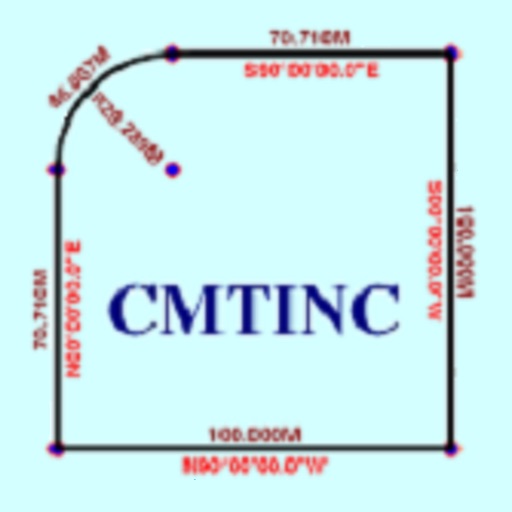
The app converts real property descriptions into boundary maps. Users enter angles and distances to draw property boundaries, displaying closure error, total area, and perimeter.
The app allows users to securely manage geospatial data in one place, improving access for the whole organization. Users can quickly access, search, and view geospatial information and survey control points using an intuitive interface.
The app provides mapping visualization and awareness for in-field data collectors. It allows users to collect, share, and access geospatial information in connected or disconnected environments.