
Quick Measure - GPS
Alec Downing
Distance and area with GPS
Allows users to calculate distance and area using GPS. Tap to start and stop tracking automatically as you move. Manually input points to specific areas. Save and share measurement data.

Showing 221–240 of 1,000 ranked alternatives.
Alec Downing
Distance and area with GPS
Allows users to calculate distance and area using GPS. Tap to start and stop tracking automatically as you move. Manually input points to specific areas. Save and share measurement data.

IFA Productions Inc.
Test soil samples and get expert results
Allows users to perform grid sampling for fields with a step-by-step process. It provides lab results within 5-7 days. Users can access aerial imagery maps of their fields. They receive personalized recommendations from Ag PhD experts.

华明 罗
Track speed and direction in real time
Track real-time speed and power using a digital . Monitor maximum and average speed during trips. Use a to determine direction, view altitude, and track coordinates.

Marton Varga
Record movement to distance
Distances and areas using a map interface. Start recording by pressing the record button and stop with the stop button. Pause to add new sections. Tap labels to remove sections or the start point. Manage measurements by connecting points.


7S2P Inc.
Create mind maps and extend content
Create mind maps from ideas to structured content. Expand parent nodes into detailed child nodes with AI. Organize thoughts and generate text-based insights. Track progress and refine ideas for writing projects.

Badge Apps LLC
Receive location data, map points, set radius
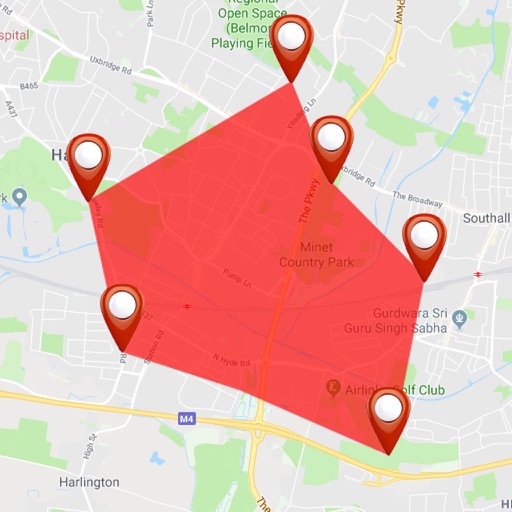
Receive location data via email and map it automatically. Visualize GPS coordinates with a radius overlay. Get notifications for location updates. Share mapped locations with others. Set custom radius sizes and track movement patterns.


Propeller Aerobotics Pty Ltd
Navigate sites, capture data, share updates
Allows users to navigate job sites in real time, perform site checks, and capture 3D models. It enables teams to access shared data, track progress, and collaborate remotely.



DC Cloud Apps, LLC
Download and view topography
View topographic of for hiking, camping, and outdoor activities. Choose between Base Map and Toporama sources. Download for offline use. Track location, elevation, and movement on the map.


Rajan Fernandez
Download , find huts, track trails
Access offline topographic of New Zealand. Download and manage to conserve storage. Locate DOC huts, campsites, and hunting areas. Search for named locations. Import GPX routes and share via AirDrop. Measure distances on .



Apps are ranked by functional similarity, category fit, rating confidence, and popularity.