

Apps Like Partition & Stakeout for iPhone and iPad
Digitize and divide real property easily.
The app allows users to digitize and divide real property into sub-areas. Users can record GPS locations, pick GPS locations for lines or areas, and use stakeout functions to approach points or move along boundaries.
Partition & Stakeout screenshots
Ranked alternatives
Showing 181–200 of 1,000 ranked alternatives.


SketchAndCalc Area Calculator
Icalc, Inc.
Calculate image areas by drawing perimeters.
The app calculates areas of uploaded images by allowing users to set a drawing scale before outlining a shape's perimeter. It supports multiple drawing layers for summing areas and displays results in imperial and metric units.



GPS Location
Acceleroto
Share coordinates via SMS or email
Displays current coordinates, date, and time with a scrollable map. Share coordinates via SMS, email, Twitter, Facebook, or Weibo. Attach screenshots when sharing via email, Twitter, or Facebook. Copy coordinates to locate places using crosshairs.

ShieldGPS
OG Systems, LLC (CA)
Track location, view maps, set geofences
Access real-time location and location history of GPS trackers with playback. Switch between map and satellite views. Receive alerts for movement, speed changes, or status updates. Create geofences to notify when entering or exiting specific areas.

DEC Connect
Delaware Electric Cooperative, Inc.
Account management for DEC customers.
The app allows Delaware Electric Cooperative customers to manage their accounts. Users can view usage and billing, manage payments, and contact customer service with issue notifications.

Norgeskart
Norgeskart AS
Navigate Norway with offline maps
View detailed maps of Norway with accurate trails, sea routes, and city navigation. Search locations and addresses. Use GPS for auto-rotating maps and compass. Download maps for offline use. No advertisements.
altimeter professional
FFZ srl
Track altitude and record position data
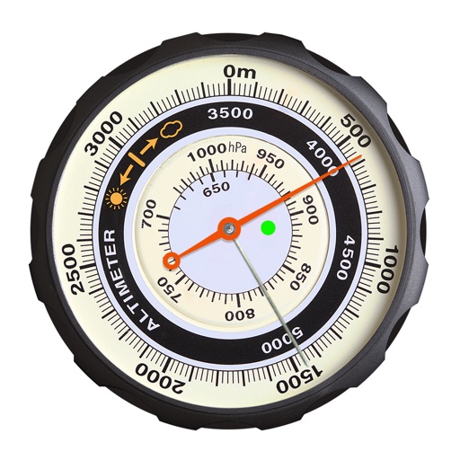
Displays altitude using a digital readout and an analog gauge. Tracks maximum height reached during use. Shows altitude accuracy and sensor quality. Utilizes GPS and barometric sensor for precise measurements.


GPS OS Grid Reference
John Spinks
Locate position on OS maps
GPS OS allows users to determine their location on Ordnance Survey maps of Great Britain and Ireland without needing a phone signal. It provides high-accuracy positioning using OSTN15 transformation data.

mySSEMC
Snapping Shoals Electric Trust, Inc
View usage, pay bills, and manage account
Manage account balance and due dates, set up and modify payment methods, view bill history with PDF access. Notify customer service of account issues, receive special messages, and track usage and billing details.

CAT Scale Locator
Steve Holmes
Find cat scales with GPS or search
Find nearby CAT locations using GPS. Search and save locations manually or via current position. View details and navigate to selected sites.

The GPS App
BJC, LLC
Capture coordinates and export data
Capture GPS coordinates with a simple interface. Add descriptive notes to each location. Export data in multiple formats. Sync with Geographic Information Systems for mapping and analysis.

GPS Receiver HD
Paul Shelley
Track locations, record waypoints, export routes
View GPS coordinates globally with a simple interface. Record and name waypoints during travel. Manage multiple waypoint lists. Import and export data as CSV or KML. Sync waypoints automatically via iCloud.

Effie: Write, Mindmap & Note
7S2P Inc.
Create mind maps and extend content
Create mind maps from ideas to structured content. Expand parent nodes into detailed child nodes with AI. Organize thoughts and generate text-based insights. Track progress and refine ideas for writing projects.

How we rank alternatives
Apps are ranked by functional similarity, category fit, rating confidence, and popularity.