The app records user tracks into files, logging latitude, longitude, altitude, speed, and distance. It supports multiple file formats and map services, with background logging and file sharing capabilities.
by Siu Yuen Ho★ 3.73 ratingsUtilities$1.99Data updated 2026-10-30
The app logs calories burned, steps taken, and distances traveled. It tracks everyday activities, analyzes sleep patterns, and integrates with the Health app.
The app downloads United States Geological Survey data on worldwide earthquake activities of the past 7 days. A map view can be generated for each earthquake by entering its latitude and longitude coordinates.
Displays real-time device orientation relative to magnetic fields. Switch between true and magnetic North. Shows location coordinates, course, speed, and altitude. Tracks movement and provides directional data.
Receive real-time kinematic (RTK) GPS corrections for precise positioning. Connect to devices to enhance location accuracy. Monitor connection status and manage data streams. Disable background GPS when not in use to conserve battery.
The app functions as a WebDAV client, enabling file downloads and uploads. It supports multiple file and folder operations, viewing files online, and managing download history.
Track daily activities including walking, running, and other exercises with automatic recognition and self-learning. Monitor sleep duration and quality to identify trends. Sync data across devices for consistent progress tracking.
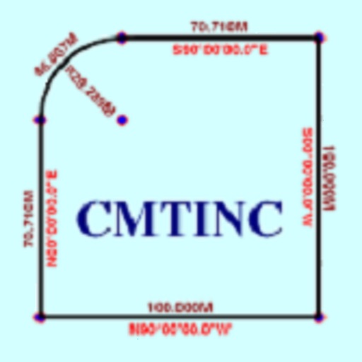
The app converts real property descriptions into boundary maps. Users enter angles and distances to draw property boundaries, displaying closure error, total area, and perimeter.
The app calculates RC charging and RC filter circuits. It finds component values, voltage at time t, and cutoff frequency, and saves data to CSV files.