
My Speed - GPS Speedometer
Raween Kalicharan
Track speed with a clean interface.
The app displays the user's current speed using GPS. It offers three units: km/h, mph, and knots, with a high contrast display for readability.

Calculate distance and heading along great circle.
The app calculates distance and heading along the great circle between two positions. It uses GPS for the start position or allows own input, and provides GPS speed and course.
Showing 541–560 of 1,000 ranked alternatives.
Raween Kalicharan
Track speed with a clean interface.
The app displays the user's current speed using GPS. It offers three units: km/h, mph, and knots, with a high contrast display for readability.

Vitalijs Lennojs
Track routes, view weather, control music
Displays current speed, average speed, time, heading, altitude, trip elapsed time, and distance/time/direction to a stored home location. Provides short-term weather forecasts. Adjusts transparency of Apple Maps screen. Controls iPod playlists.

Hideshi Otsuru
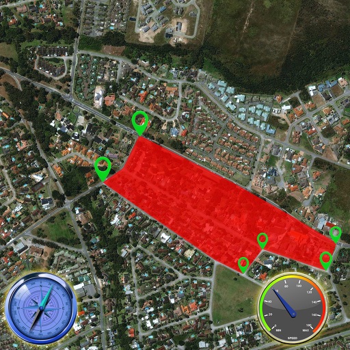
Display distance and direction to destination.
The app displays straight-line and driving distances to a destination. Users can set destinations via search or map selection, with real-time distance and direction updates.


Jonathan Lundell
Find nearby contacts from address book.
The app shows and tells users the nearest contacts from their address book. It displays contacts on a map with distance and driving time, and provides driving directions.

Mobile Software Design, LLC
Track course markers and distances
A GPS for golfers allows users to lock the screen by pointing at the green. Set markers to measure distances between points. Multiple markers can be placed and adjusted. Zoom in and out using pinch gestures. Demo mode is available for practice.


stooj s.r.l.
GPS tripmaster for off-road navigation.
The app provides a universal GPS tripmaster for off-road, overland, and rally navigation. It offers on-screen speeds, precision timers, and a clear driving dashboard with voice announcements and track recording capabilities.


Alexey Sakharov
Navigate fields with straight-line guidance
Provide real-time GPS with straight-line guidance and visual cues. Track field coverage and reduce overlap. Log farming activities and receive alerts for equipment status. Sync with farm management systems for detailed operational insights.

Mapgears Inc.
Track trips and list equipment
Track trips with breadcrumb navigation, speed, and distance statistics. Log equipment details and note vehicle-specific distances. Access satellite view for enhanced map navigation.

Michael Irving
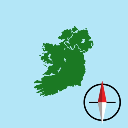
Irish Grid Reference and Map
The app displays the user's current location on a map of Ireland or Northern Ireland. It provides the Irish Grid Reference, compass bearing, and latitude/longitude in OSGB36 and WGS84 formats, along with GPS signal strength.


Apps are ranked by functional similarity, category fit, rating confidence, and popularity.