The app displays contacts on a personal map, converting address strings to geographic information. Users can view contact names directly on the map for convenient browsing and access contact details by tapping labels.
by Jerry Juang★ 5.01 ratingsUtilitiesFreeData updated 2026-10-30
Displays and heights for over 3200 coastal locations. Shows first/last light, sunrise/sunset, and moon phase data. Supports local time with daylight saving adjustments. Switch between metres and feet.
Find routes and get turn-by-turn . View current location and nearby places. Receive directions for accurate destination arrival. Display maps with real-time location tracking. Show nearby points of interest.
Monitor vehicle movement, ignition status, and location in real time. Send commands like messages and route instructions. View tracks with speed, fuel data, and other metrics on a map.
ID identifies unknown callers by matching phone numbers to real names and contact details. It displays real photos of contacts and allows reverse phone number lookups. Users can view detailed information about callers and manage contact data.
The app saves up to 50 map positions with notes. It displays the current address for the user's location and retrieves saved positions using latitude and longitude.
The app measures distance, area, and perimeter on a map using manual input or GPS tracking. It allows users to label, save, and share points in KML format, and check bearing and geo-coordinates.
Find nearby bikes, scooters, or e-bikes and view real-time availability. Log into your account to manage bookings. Contact support through the . Access bike parking locations and bus stop information. Scan QR codes to unlock vehicles.
Offline map for Pokémon Scarlet and Violet displays locations of Pokémon, fast travel points, shops, items, battles, stakes, and shrines. Tap icons for detailed descriptions.
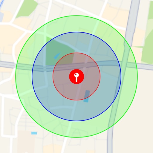
Visualize around map pins to compare distances. Set up to three per pin. Search locations and check nearby points of interest. Switch between standard and satellite map views. Automatically save pins for future reference.
Measure altitude, latitude, and longitude in real time. Display current direction using a compass. Show location with map-based coordinates and address. Share photos with altitude data on social networks.
Track daily Field Service activities and log specific activity types for statistical analysis. Maintain monthly reports and share them with the congregation. Manage contacts, schedule return visits, and use Google Maps for location tracking.
Find and thrift stores in Los Angeles by area or category. View store hours and contact details. Search for specific stores. Browse curated picks from experts. Support local small businesses through sustainable shopping.
The app provides an up-to-date Taipei subway map that functions offline. It includes a route planner, GPS, and street maps for every station, supporting both English and Chinese languages.