
Apps Like Deed Calls & Stakeout for iPhone and iPad
Convert property descriptions into maps.
The app converts real property descriptions into boundary maps, displaying angles, distances, closure error, area, and perimeter. It offers stakeout functions for deed plots and individual points, with optional navigation beeps and GPS toggling.
Deed Calls & Stakeout screenshots
Ranked alternatives
Showing 161–180 of 1,000 ranked alternatives.


Statistics Calculator+++
Behzad Dogahe
Calculate statistical values and test hypotheses
Calculator+++ allows users to input data via Add X, Add Y, and Add f buttons. Perform statistical analysis, regression, probability distributions, confidence intervals, and hypothesis tests. View results directly without needing a manual.

My GPS Location °
MYSTIC MOBILE APPS LLC
Check with GPS and Wi-Fi
Check current using internal GPS and Wi-Fi data. View latitude and longitude in decimal degrees, degrees decimal minutes, and degrees minutes seconds. Suitable for trips, sports, geocaching, and solo travel.

Digital Cockpit - CARID
Miroslaw Kapalka
Navigate safely with custom functions
Navigate using real-time traffic updates and turn-by-turn directions. Access points of interest, search for locations, and view maps. Switch between portrait and landscape modes. Control audio playback and manage call functions.

MyMeasure
Pendlebury Software LLC
Measure map features quickly and easily.
The app measures length, perimeter, and area on a map using an interactive crosshair. Users can trace map features, and dimensions update continuously.


T-Mobile Direct Connect
Sprint Nextel Corporation
Talk instantly with group or one-to-one calls
Enable push-to-talk communications on Apple devices. Make 1-to-1 and group calls. Control calls via touchscreen. with devices. Manage call settings and permissions.

Map Ruler - Distance Measure
Sergey Irgeshov
Plot routes and distances
Create routes for running or walking by tapping on the map. Calculate distances and areas on the map. Plot routes and get automatic directions. traveled and save route data. Sync with fitness trackers for step and tracking.
Land Measure Pro
Pendlebury Software LLC
Area, length, and angles on maps
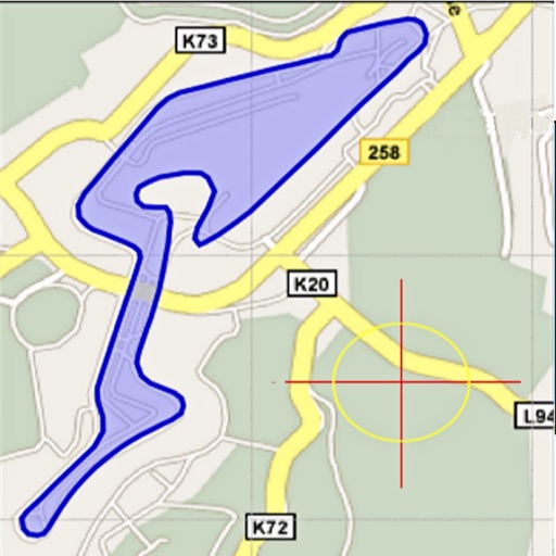
Area, lengths, and angles on maps using an interactive crosshair. Trace outlines to create connected points, updating area and perimeter in real time. Adjust radius for scaling features. View dynamic length and angle as you move the crosshair.



KickBack Points
KickBack Points, L.L.C.
Earn for every purchase
Track transactions and earn with every purchase at participating merchants. Locate nearby locations and view details about each store. Manage balance and redeem rewards through the .


PDF Scanner-Scan PDF Document
Hangzhou boniu technology co. LTD
Scan documents and convert to PDF
Scan documents using intelligent boundary detection to create high-definition JPEG and PDF files. Optimize images with multiple modes. Convert PDFs to word documents, add signatures, watermarks, and merge PDFs.

NZ Topo Maps
Rajan Fernandez
Download , find huts, track trails
Access offline topographic of New Zealand. Download and manage to conserve storage. Locate DOC huts, campsites, and hunting areas. Search for named locations. Import GPX routes and share via AirDrop. Measure distances on .

Measure Pro
Sarah Ragab
Photos, add notes, organize files
Allows users to import photos from the camera or photo library. They can zoom in for precision, add arrows, angles, and text, and store dimensions.

Tape Measure light
Marton Varga
Record movement to distance
Distances and areas using a map interface. Start recording by pressing the record button and stop with the stop button. Pause to add new sections. Tap labels to remove sections or the start point. Manage measurements by connecting points.


How we rank alternatives
Apps are ranked by functional similarity, category fit, rating confidence, and popularity.