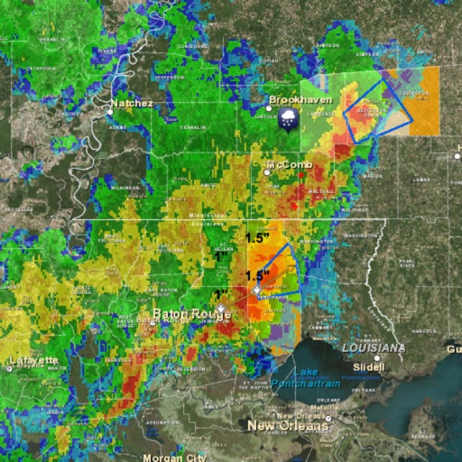
The app provides personalized weather and storm tracking. Users can follow storms with real-time radar on interactive maps and build custom weather maps.
by WeatherTAP Incorporated★ 2.642 ratingsWeatherFreeData updated 2026-10-28
The app provides hour-by-hour forecasts for the next day and week ahead. Users receive customized local forecasts and personal alert notifications for significant weather.
The app provides 250-meter radar with future radar capabilities and high-resolution satellite imagery. It offers current weather updates multiple times per hour, daily and hourly forecasts, and the ability to save locations with GPS integration.
The app provides farm-level weather forecasts and alerts. It offers interactive weather maps, precipitation tracking, and wind monitoring for agricultural decision support.
View , wave, weather, and tide forecasts with detailed data. Find optimal spots based on conditions. Track forecasts for surfing, kitesurfing, fishing, and sailing. Post sessions, share publicly or privately, and interact with others.
Provide real-time wind and forecasts for kiteboarding and kitesurfing locations. Track live wind reports at specific spots like buoys and piers. Access detailed local data for rivers, lakes, and coastal areas. Share forecasts with other riders.
The app displays world rain radar, satellite imagery, and earthquake data on a Google Map. It provides weather information including temperature, wind, humidity, pressure, and cloud coverage, along with forecasts.
Monitor current conditions with radar, satellite imagery, temperature, and surface wind data on an interactive map. Receive automated alerts for up to eight locations, including your phone's current position.
View real-time data with interactive maps and radar. Access satellite cloud imagery and road alerts. Receive color-coded alerts by severity. Use GPS for location-based forecasts. Track changes with looping map views.
The app provides hour-by-hour forecasts for the next day and week ahead for Rhode Island and SE Massachusetts. Users receive customized local forecasts and personal alert notifications for significant weather.
Receive hour-by-hour weather forecasts for Topeka, Kansas, and the upcoming week. View local weather details customized for your area. Get alerts for significant weather events and track storms in real time.
Provides local forecasts for every U.S. city and territory. Displays daily and hourly updates created by real meteorologists. Uses data and technology for accuracy. Shows reasoning behind forecasts instead of just predictions.
View current weather warnings for Germany at the municipal level. Set favorite locations with GPS for detailed warning info. Customize warning levels and receive push alerts. Share warning updates via social media.
Monitor real-time strikes with interactive maps. Receive instant alerts for thunderstorms and nearby . Check predictive storm tracking and local weather updates. Determine safety by viewing proximity and storm intensity.
The app displays current weather radar data from the United States National Weather Service NEXRAD Level 3 Radar Network. It allows users to view storm motion through animation and marks the user's current location on the map.
Track conditions with hyperlocal forecasts for over a million locations. Receive lightning alerts and lunar calendar updates. Swipe the Wheel to explore forecasts. Listen to immersive audio for each element.
The app provides 250 meter radar with future radar to see severe weather. It includes high-resolution satellite imagery, current weather updated multiple times per hour, and daily/hourly forecasts.