
iPhone Screenshots
Description
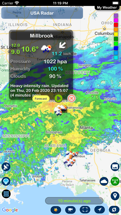
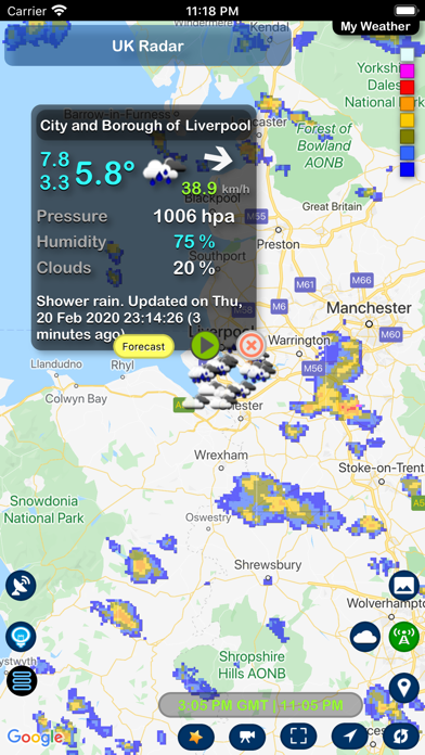
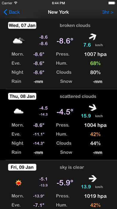
The app displays world rain radar, satellite imagery, and earthquake data on a Google Map. It provides weather information including temperature, wind, humidity, pressure, and cloud coverage, along with forecasts.
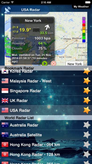
World Rain radar, Satellite Image and World Earthquake present on Google Map with weather info provided by OpenWeatherMap. 260 radar & satellite images, countries supported: Argentina, Australia, Belgium, Brazil, Hong Kong, Japan, Korea, Macau, Malaysia, Singapore, Taiwan, United Kingdom, United States, more coming soon.
Features:
- Rain Alert (Server side), currently only support 2 countries: United States and Malaysia.
- Weather info like temperature (Max/Min),Wind,humidity,pressure and cloud coverage.
- Weather forecast (Daily / every 3 hours)
- Animation radar map and satellite image
- Weather broadcast
- bookmark landmarks/locations
- Current location