
myXY
McGill DevTech, LLC
Organize and find saved locations.
The app displays current coordinates and altitude. Users can save locations by long-pressing the map and organize them into folders.

Altitude and context at a glance.
The app shows current altitude, latitude, longitude, and heading. It also provides weather data including temperature and atmospheric pressure.
Showing 381–400 of 1,000 ranked alternatives.
McGill DevTech, LLC
Organize and find saved locations.
The app displays current coordinates and altitude. Users can save locations by long-pressing the map and organize them into folders.

Craig Hunter
Record photos and videos with data overlays
Record photos and videos with real-time data overlays. Use augmented reality for navigation. Access proven navigation and image processing technologies. Capture geospatial data during recordings. Share media with embedded location and time stamps.

Arkadiusz Holko
Convert units in text, websites, and camera
Convert units of measure in text, on websites in Safari, and live in the camera view. Automatically switch between Metric, Imperial, and U.K. systems. Select preferred units for automatic .


Tatsuo Saeki
Monitor flight data and backup instruments
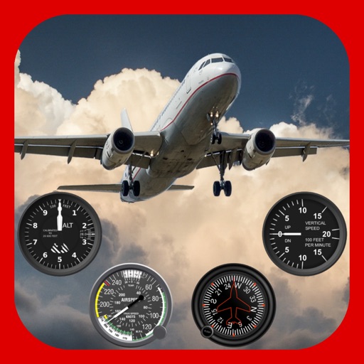
Provides a backup flight display with attitude indicator and heading indicator. Displays critical flight data during instrument failure. Allows pilots to monitor aircraft orientation and direction. Integrates with GPS for accurate navigation.


Junichiro Seyama
Record journeys and track elevation gain.
The app records a user's journey and displays unknotted locations on a map. It offers features like a slope meter, elevation tracking, and voice navigation.


Kyle Oppenheim
Track medical and BasicMed status
Track medical certificate validity, BasicMed compliance, review expiration, and recent experience as per FAA regulations. Calculate expiration dates based on calendar entries. Receive alerts for upcoming renewals.

Egal Net di Ettore Gallina
Manage files, control GPIO, view camera images,
Manage Raspberry Pi remotely with GPIO control for on/off and impulse functions. Access a file manager to explore and transfer files. Send terminal commands, view camera images, and retrieve sensor data.


Sam Greaves
Plan flights, calculate fuel, track routes
Plan flights with detailed aircraft profiles and radio frequency access. Calculate fuel requirements and flight times. Manage pre-flight checklists and weather data. Track in-flight performance and adjust routes as needed.

Michael Tschuggnall
Add locations and follow the compass
Enter coordinates to set destinations and follow a compass-based route. Save location tags in a profile to mark important stops. Load, edit, and reuse profiles to navigate between saved locations.

Appmanschap B.V.
Track runs, view routes, and analyze speed
View runs and routes on a map with detailed altitude and speed data. Automatically record runs and lifts. Analyze routes using graphs and save activities to Apple Health. Earn trophies, save favorite locations, and export routes via email.


Milan Savaliya
Tag timestamps and locations to photos
Add time stamps, GPS coordinates, and exact addresses to photos and videos instantly. Enable grid, aspect ratio, switch, flash, focus, and timer settings. Store user locations automatically and reverse-geotag addresses.

Apps are ranked by functional similarity, category fit, rating confidence, and popularity.