Add authentic date, time, and location watermarks to photos and videos. Sync with network time for accurate timestamps. Embed GPS data even if device time is altered. Use for documentation in construction, traffic incidents, and evidence collection.
The app displays GPS information including address, latitude, longitude, altitude, and speed on a map. It also shows directions for north, south, east, and west, along with true and magnetic north.
Navigation displays a compass with arrows indicating directions to stored locations. Users can view coordinates and distances to these places. Record routes for later reference or to retrace steps.
Display scrolling with customizable styles including color, background, font, and glow effects. Adjust scrolling direction for up, down, left, right, or fixed movement. Set content for messages, announcements, or personal expressions.
The app allows users to save mushroom foraging locations using GPS coordinates and photos. It features a unique Mycelium Compass for navigation and allows users to plan and track hunting sessions.
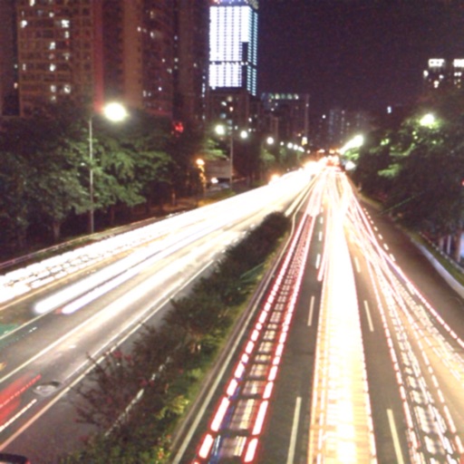
The app captures photos using slow shutter speed effects to create light trails and streams. Users can control exposure time and focus for motion blur photography.
Capture photos with integrated map data and weather information. Adjust settings including grid, aspect ratio, and manual map options. Edit images with map overlays and share directly.
The app displays a properly colored and positioned bow light on the user's device. It also functions as a flashlight if the device is equipped with one.
Navigate using real-time 3D city views with realistic architecture and dynamic lighting. Explore landmarks and buildings with immersive street-level visualization. Rotate and tilt 3D scenes for better orientation.