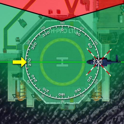
The app provides pilots with various flight-related calculations including distance, time, speed, altitude, and wind components. It also offers unit conversion and coordinate conversion features for iPad users.
by Andrej Hyll★ 0.00 ratingsNavigation$4.99Data updated 2026-10-27
The app allows users to fly over maps and notable places using hand movements as commands. Users can control altitude, direction, and orientation, with on-screen information for flight parameters.
Record location data including latitude, longitude, altitude, speed, and distance. Save logs in CSV, KML, GPX, TCX, FITLOG, and NMEA formats. Use Apple or Google maps. Enable background logging. Share files via AirDrop. Upload to iCloud Drive.
Track Air flights in real time with flight details, routes, and aircraft information. View live radar data and flight status. Set alerts for specific planes or destinations. Share flight data via social media or email.
The app visualizes holding patterns for flight training on iPhone and iPad. It guides users through entries, briefings, and actual holding procedures with visual aids.
The app offers worldwide flight planning and in-flight navigation for iPad and iPhone. It provides flight plan creation, navigation data, and moving map features for various aircraft types.
The app provides calculations for low-temperature approaches using ICAO standards. It displays corrected altitudes graphically and offers a distance-altitude table for approach planning.
Track flight paths and waypoints. Display real-time GPS data and altitude. Set navigation targets and receive turn-by-turn guidance. Monitor weather conditions and air traffic. Save and share flight logs. Sync with external devices for telemetry.