Displays altitude, coordinates, and speed with options for metric or imperial units. Shows accuracy and warns about signal issues. Offers aircraft mode with in feet. Compares current altitude with known values. No ads or data collection.
The app interpolates a value using defined X-Y points. It can calculate fluid volume from pressure readings or convert between temperature and speed units.
Track location data without internet connectivity. View date-wise location history on your . Access current location to record movement. No personal data is uploaded or shared. Monitor activity logs directly from the .
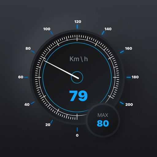
The app checks the user's speed and provides warnings when exceeding the speed limit. It supports both metric and imperial speed units, with optional warning sounds and adjustable tolerance settings.
View and navigate the with endless scrolling and intuitive controls. Access accurate Bahire-Hasab calculations for each year. Receive holiday reminders and set custom notifications. Convert dates between and Gregorian formats.
View current location details including latitude, longitude, altitude, and address in Decimal or DMS format. Track trip data such as distance, speed, and maximum speed. Save location and trip information for later review.
Recordings directly from the Apple . Select multiple recordings, use the share option to them, and save the combined file back to Apple or another location.
Monitor speed in real-time with a customizable interface. Display current speed, trip distance, and fuel efficiency. Set speed limits and receive alerts. Sync with Bluetooth devices for accurate readings.
Track trips with real-time GPS data including speed, position, distance, elevation, and map display. Record details and export GPX files for review in Google Earth. Sync data to a computer for geo-tagging and management.
The app offers a GPS speedometer, odometer, and trip meter with an 80s digital meter design. It also includes fuel management and a music player, calculating fuel economy and remaining fuel.
View real-time heights and predict high and low . Access charts, tables, and maps for over 17000 coastal locations. Track with a dedicated watch interface. Set alerts for specific events. Share data via email or social media.