Rally racing navigation instrument for motorcycles.
The app offers an adjustable odometer and a CAP heading compass on its home screen. It is suitable as a primary or backup navigation device for rally racing.
by PepeRico, LLC★ 5.03 ratingsNavigation$19.99Data updated 2026-10-22
Watch live video streams of American Rally Association events. Track car positions and scores in real time. View event countdowns and news updates. Access spectator guides and event schedules.
Navigate parks with interactive maps and a directional compass. View wait times and customize touring plans. Access attraction details and manage your itinerary efficiently.
Calculate altitude using GPS, ASTER, or barometer (iPhone 6 and later). Display average altitude from GPS and ASTER data. Show peaks, compass, and distance grid on an integrated map. Support Apple Watch. Choose unit of measurement.
Track location, speed, and altitude with real-time GPS data. Use a digital compass for direction. Access weather information and tag locations. Share coordinates and view maps.
The app offers a GPS speedometer, odometer, and trip meter with an 80s digital meter design. It also includes fuel management and a music player, calculating fuel economy and remaining fuel.
Book rides by tapping the to connect with others heading in the same direction. Track your driver in real time. Split costs automatically. Access routes and schedules for shared trips. Receive updates on ride status and estimated arrival times.
Displays current with large, clear indicators. Shows both true and magnetic north. Features a minimalistic interface with a prominent display. Offers free navigation without additional costs.
Tracks location, speed, altitude, heading, acceleration, g-force, and atmospheric pressure. Retrieves and displays current weather data. Records tracks up to 10 minutes or 10 kilometers. Plays back tracks at multiple speeds.
View current location in UTM or lat/lon formats. Record and save waypoints. Track movement with up to 40 tracklog points. Navigate using GPS for hiking, mountain biking, and kayaking. Switch between coordinate systems. Store up to 3 waypoints.
Track business for reimbursement, manage vehicle maintenance, and maintain a clean logbook for IRS records. Log trips, save routes, and categorize expenses. Export data for tax purposes and sync across devices.
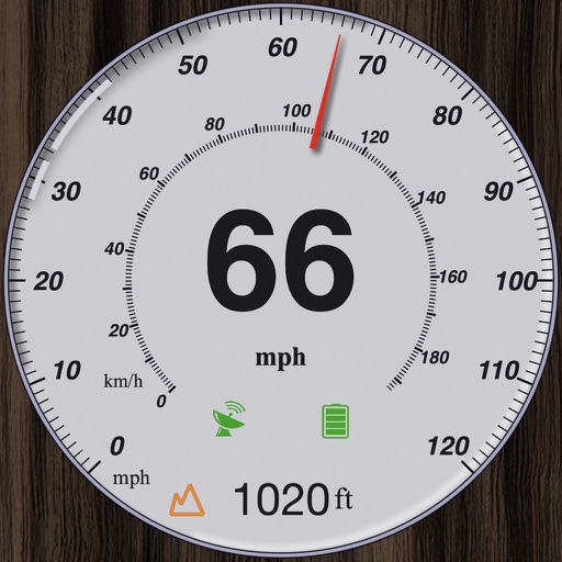
GPS measures and displays speed for walking, jogging, cycling, cars, boats, trains, and airplanes. Users can select display units and choose between two scales. Trip recording and average speed tracking are available.
View lunar phases and eclipse details with start and end times, maximum magnitude, and visibility. Use calendar, compass, map, and AR camera views to track the path and timing. Plan outdoor activities based on optimal light conditions.