Rally racing navigation instrument for motorcycles.
The app offers an adjustable odometer and a CAP heading compass on its home screen. It is suitable as a primary or backup navigation device for rally racing.
by PepeRico, LLC★ 5.03 ratingsNavigation$19.99Data updated 2026-10-22
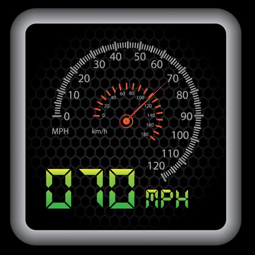
The app provides a heads-up display for a car, offering GPS-based speed information with MPH and KPH options. It includes digital and standard font modes, 12 and 24-hour clock options, and portrait and landscape orientations.
The app displays current local outdoor wind speed and direction from a nearby weather station. It updates automatically and supports multiple wind speed units and directional displays.
PRO HD helps users locate satellites by pointing their device skyward. It displays available satellites and their parameters. Users can sort satellites by name or frequency. Search functionality allows filtering by channel, radio, or provider.
Track speed, average speed, maximum speed, and directional speed. Measure velocity made good and wind speed. Calculate the Pilot Performance Index to assess flight performance. Compare results with others or against autopilot settings.
The app computes heading corrections and ground speed. It aids navigation and diversion techniques for pilots by displaying groundspeed and correction angles around a compass rose.
Display current direction, altitude, latitude, and longitude. Show real-time barometric pressure and movement speed. Track geographic location. Switch between "Classic" and "Sunset" visual themes with premium color schemes.
Track trips with distance, time, and average speed calculations. Forecast arrival times using waypoints. Monitor GPS and OBD sensor data in real time. View detailed vehicle performance metrics. Sync with external GPS devices for enhanced navigation.
Automatically detects and counts each load without requiring phone interaction. It tracks materials and bills loads in real time. Users manage zones, monitor operations, and ensure no billable loads are missed.
The app provides magnetic heading, altitude, speed, and flatness information. It utilizes the device's technological resources for operation and precision.
Display current distance to in miles, kilometers, or football fields. Tap to open Apple Maps for navigation. Switch between dark and light themes. Set location manually.