Adachi disaster prevention information and facilities.
The app provides disaster prevention information and facility details for Adachi Ward. Users can access hazard maps, shelters, and official Adachi disaster prevention updates.
by Adachi City★ 0.00 ratingsLifestyleFreeData updated 2026-10-19
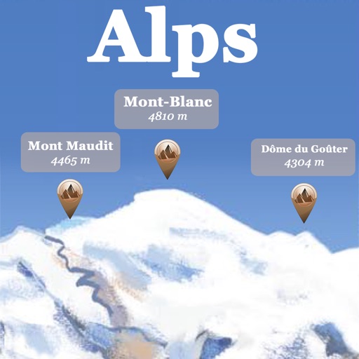
The app references over 20,000 peaks, passes, lakes, and shelters in the Alps. Users can find names, altitudes, and distances to summits and locate various points of interest on a 2D map.
The app helps users find nearby places like restaurants and shops using AR view for directions. It allows saving keywords, setting search points, and sorting results by distance.
Plan trips offline by selecting departure and destination points. Get route suggestions with transfer details and scheduled times. View routes on a map and filter by transport modes or via stations.
The app looks up any latitude/longitude coordinate on the earth's surface and displays it on a satellite image or map. It is useful for finding a location specified only by its coordinates or to map out a SIGWX area.