The app provides real-time imaging satellite overflight notifications and on-demand access to recent high-resolution satellite images. Users can request an imaging satellite to capture a new picture.
by Orbit Logic Incorporated★ 3.170 ratingsUtilitiesFreeData updated 2026-10-19
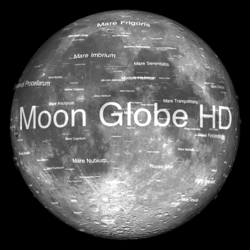
The app displays Earth's Moon in realtime 3D using satellite imagery and topographic data. Users can manipulate the view, switch to Telescope mode, and adjust the display time to observe shifting sunlight on the lunar landscape.
View real-time maps and track tropical cyclones. Explore global cloud patterns and hurricanes. Access forecasts and world for cities. Display a 3D simulation of with accurate star renderings. Rotate and zoom the for different perspectives.
View current and forecasted weather with six-day data. Check radar and satellite imagery. Track wind, rain, tide, swell, and UV levels. See moon phases and sunrise/sunset times. Locate specific areas for detailed forecasts.
Navigation allows users to view direction aligned with satellite imagery or maps. Displays street address, GPS coordinates, elevation, and What3Words codes. Taps switch between satellite and map views. Pinch or spread to zoom.
The app provides Hong Kong weather information including warnings, forecasts, and observations. Users can access animated radar, satellite imagery, webcams, and typhoon tracking with real-time push notifications.
The app provides 24-hour emergency roadside service for Verizon customers. It helps users request assistance for various issues, pinpoints vehicle location, and provides service arrival estimates.
Combine multiple internet sources like 4G LTE, 5G, Wi-Fi, Starlink, and Satellite into a single bonded connection. Prioritize and balance data usage across networks to reduce buffering and improve speed.
Liquid Apps Bilgi ve Operasyonel Teknolojileri Limited Sirketi
Phone to control car functions
Your phone to control music, navigation, and communication tools. Access real-time traffic data and detailed maps with satellite and transit modes. Receive turn-by-turn directions and manage calls hands-free.
Explore 3D street views and high-definition satellite maps for detailed location information. Navigate using real-time positioning. Interact with VR attractions for immersive exploration. Access domestic and international scenery from anywhere.
The app provides access to four satellite television stations, including LoveWorld USA, LoveWorld Plus, LoveWorldSAT, and LoveWorld TV, on a mobile device. Users can view all programs aired by these stations through the application.
Identify stars, planets, and constellations using real-time sky maps. Point device to locate celestial objects. View satellite passes and track planetary movements. Receive detailed information on selected objects.
Distances and areas on satellite maps. Select points to calculate length or size. Save measurements and share results. Compatible with various map views and zoom levels.
View animated weather images with high-resolution displays and predictive capabilities. Access severe weather warnings and snow/mixed precipitation indicators. Choose color schemes and toggle snow display options.
Create map-based wallpapers using curated landmarks and satellite imagery. Apply artistic filters to enhance visuals. Export wallpapers for iPhone or print as posters. Access a 3D landmarks widget that updates daily.
Display current location using GPS, GALILEO, and GLONASS. View position on various map layers. Import and export KML files. Navigate with coordinate systems. Track movement during outdoor activities.
Distances and areas on satellite maps. Select objects like lawns, roads, and buildings. Save and share measurements. Export data in various formats. Sync with other apps for project planning.