

Apps Like Bathymetry Maps for iPhone and iPad
Bathymetry Maps screenshots
Ranked alternatives
Showing 421–440 of 1,000 ranked alternatives.

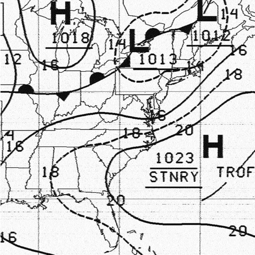
HF Weather Fax
Black Cat Systems
Receive faxes via HF radio
Receive and display marine fax images using HF radio audio. Connect via Bluetooth or audio input. Tune to fax frequencies. View real-time reports without internet.


NYC Subway Tracker
One Bite Apps Inc.
Track arrivals and departures
Track real-time MTA arrivals and departures at specific stations. View live line statuses and service alerts. Receive notifications for train delays or disruptions. Plan routes using interactive maps and station details.


EasyTrails GPS Lite
Zirak Srl
Track outdoor activities and travel details.
The app tracks outdoor activities and travel, showing distance, time, and elevation. It displays courses on a map, allows track import and sharing, and exports tracks for review on other services.


IGNIS | Wildfire Operations
Ignis Technologies, Inc
Overlay maps, access layers, track fire weather
Overlay GeoPDF maps on dynamic base maps. Access curated wildland fire layers. Use the Fire Weather Dashboard for forecasts. View fire-specific symbology and reference documents.



RIDGID Trax
The Ridge Tool Company
Map underground utilities in real-time.
The app provides real-time underground utility mapping. It displays the GPS position and depth of identified utilities like water, gas, or electric on a map.


Sun n Moon for iPad
David Gibson
Sun and moon times anywhere.
The app calculates sunrise, sunset, moonrise, and moonset times for any location. It includes a moonphase calendar, animation, and a compass showing sun and moon positions.
How we rank alternatives
Apps are ranked by functional similarity, category fit, rating confidence, and popularity.