GPS displays speed, altitude, and track data with real-time profiles. Logs activity in sleep or background mode. Stores recorded tracks for analysis and map display. Shares tracks across devices via iCloud.
Navigate trails in using an offline topo map. View real-time location and route details. Access detailed elevation data and trail markers. Save and share route logs without internet connectivity.
Record routes for walking, running, or traveling. Manually adjust positions along the . Add GPS coordinates to photos without using photo editors. Track movement and save location data for later reference.
Add time stamps, GPS coordinates, and exact addresses to photos and videos instantly. Enable grid, aspect ratio, switch, flash, focus, and timer settings. Store user locations automatically and reverse-geotag addresses.
Find using GPS . Search for areas and retrieve accurate latitude and longitude. Switch between standard, satellite, and terrain map views. Calculate area measurements. Share via email or messaging.
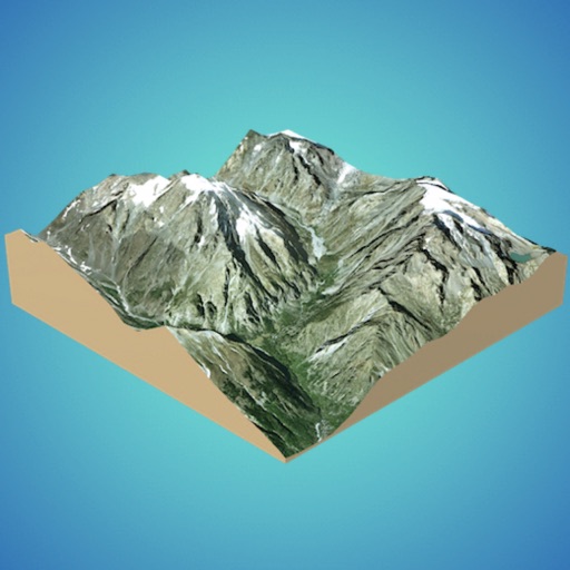
Create 3D models from online sources like Bing Maps or local cloud points. Export data as CSV, TXT, STL, or OBJ. Modify models by cutting, scaling, and animating. Calculate surface areas and volumes in real-world units.
Allows users to perform grid sampling for fields with a step-by-step process. It provides lab results within 5-7 days. Users can access aerial imagery maps of their fields. They receive personalized recommendations from Ag PhD experts.
Scan multiple barcodes simultaneously and generate various barcode types including GS1. Correct damaged QR codes and print directly to supported Brady printers. Manage scanning workflows efficiently on a single mobile device.
Track assets in real time using GPS to monitor exact locations. Set geofences and receive alerts for movement. View detailed maps and historical data. Manage multiple assets with customizable dashboards.
Reader tool allows users to read and listen to books. Ruler tool measures length, breadth, and height of objects. Protractor tool measures angles of objects. Slope tool calculates the incline of structures. Activity track daily tasks and progress.
Explore with detailed descriptions and trail information. Use GPS to navigate based on skill level and preferences. Download maps for offline access. Track hikes with elevation profiles and route details.
Collect GPS coordinates as KML Placemarks with location, name, comment, and color. View coordinates in decimal, DMS, and UTM formats. Import and export data as KML files via email. Add Placemarks by tapping "+". Record locations automatically.