

Apps Like MeasureGeo for iPhone and iPad
MeasureGeo screenshots
Ranked alternatives
Showing 181–200 of 1,000 ranked alternatives.
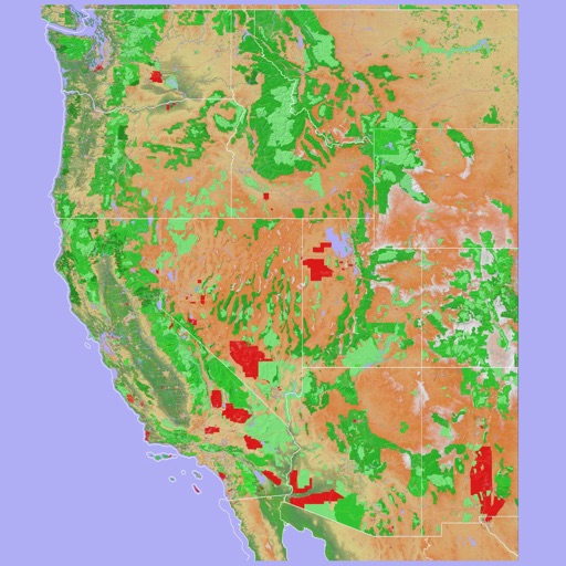
Scenic Map Western USA
Mark Granger
Explore 3D maps offline worldwide
Navigate using a 3D topographic map of the USA and Hawaii. Access offline vector maps for navigation in vehicles or outdoors. Switch to online maps for global coverage with automatic caching. Explore locations with zoom and scroll features.

Topo Nomad
Delcartes LLC
Download maps for offline GPS navigation
Download high resolution USGS topographical maps for offline GPS use. View maps aligned with Apple's map kit for easy reference. Rotate, zoom, and navigate maps with precise touch controls. Explore geographical details and historical data.



Area Measure & GIS GPS GMapper
Suphawadee Yaprasat
Map, , and manage land areas
Land measurement tools allow precise and distance calculations on maps. Coordinate capture enables adding multiple coordinates to maps. Map exploration includes zooming, panning, and layer management.

Street View 360° Panorama Maps
Titans of Industry
Panoramic and live webcams
Explore locations using 360° and live webcams. Navigate interactive with dual providers: Google and Apple Look Around. Plan trips, landmarks, and play location-based games. Share panoramic views and access real-time webcam feeds.




رحَّال | Rahhal
Abdullah Alhaider
Track trails, navigate dunes, map routes
Track trails with precise GPS mapping and save waypoints. Measure distances and elevation changes. Share routes and view real-time navigation updates. Sync with other devices for collaborative exploration.

Pitch Gauge
Pitch Gauge LLC
Preview roof on map, save or import
Track and measure roof dimensions using a sketch tool and positioning features. Preview roofs on maps or import images/blueprints. Save measurements and label lines. Take and save photos for documentation.


3D Offline Maps: GPS tracker
SERGEI BEZDENEZHNYKH
Save routes, create tracks, share locations, mark
Plan routes and save them for future use. Create and manage tracks with waypoints. Share routes with friends. Download maps for navigation. Mark locations and export tracks in GPX format. No ads and no time limits for use.

Topo Maps US
DC Cloud Apps, LLC
View topographic offline
View topographic of the United States with options for standard or hybrid map sources. Download for offline use and track current location on the map. Navigate using map features and explore terrain details for outdoor activities.


Relief Maps : backcountry gps
Batiste Vonderweidt
Explore 3D offline and navigate mountains
View 3D for hiking, skiing, trekking, paragliding, and mountaineering. Download and use USGS offline for navigation without internet. Track location with GPS. Display topographic data and elevation changes. Share map locations and routes.


Field Area Measure on GPS Map
Dhara Hingu
Land, calculate , track GPS points
Land, fields, and property using GPS or manual input. Place markers on the map or walk boundaries to calculate , distance, and perimeter. Choose units like square meters or square feet. Save and share measurements.

Troutspotting
Troutspotting, LLC
Find streams, track fish, release catch
Find fishable streams across the U.S. with real-time stream data and weather forecasts. Locate access points and parking. View special regulations. Search for nearby fly shops and stream gages. Track catch and release activities.
How we rank alternatives
Apps are ranked by functional similarity, category fit, rating confidence, and popularity.