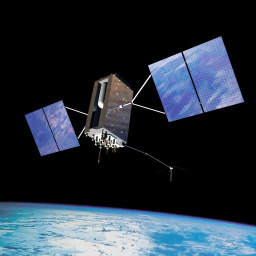
PRO helps users locate satellites by pointing their device skyward. It displays available satellites based on location. Users can search for satellites by channel name, radio name, or provider.
Point your device at the sky to identify stars, constellations, planets, and satellites. Use AR mode to locate space objects through the camera. Access detailed information about celestial bodies and track their positions in real time.
Identify stars, planets, and constellations using real-time sky maps. Point device to locate celestial objects. View satellite passes and track planetary movements. Receive detailed information on selected objects.
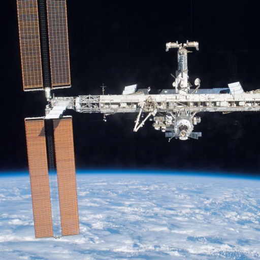
Track and the International Space Station in real time. View pass predictions and detailed orbital data. Monitor Starlink visibility and receive alerts for satellite appearances. Share observations and access sky maps for location-based tracking.
Track flights in real time with live air traffic data. View aircraft positions on global maps. Identify planes by pointing device at them. Monitor flights of contacts or follow global aircraft movements. Set alerts for specific flights or locations.
Track aircraft positions in real-time using ADS-B data. View live paths, altitudes, and speeds. Search for specific planes by identifier. Receive alerts for nearby flights and airspace changes.
Display current coordinates, address, county, and altitude for exact location. Scroll the map to navigate and track surroundings. Open the to instantly view position details.
Create and collaborate on detailed maps using satellite imagery and 3D terrain. Explore cities with 360° Street View. Add annotations and share maps with others. Navigate streets and view neighborhood details.
Calculates distances between map points and areas of non-overlapping polygons. Users can switch between metric and imperial units. Coordinates are displayed in decimal or degrees, minutes, and seconds.
View celestial positions including sun and moon overhead locations, daylight coverage, and moon phases. Track rise and set times, parallactic angle, and lunar liberations. Display day and night maps in an azimuthal projection.
Stream videos from web browsers to devices. Support formats include MP4, M3U8, HLS, and HTTPS. Tap to videos directly. View live streams and full HD content. Navigate websites and detect links for casting.
View VIIRS and DMSP satellite data with customizable overlays including clouds, auroras, and IAU observatories. Display SQM and SQC measurements for . Add personal SQM readings via email. Track radiance changes over time.
Explore locations using 360° and live webcams. Navigate interactive with dual providers: Google and Apple Look Around. Plan trips, landmarks, and play location-based games. Share panoramic views and access real-time webcam feeds.
Navigate using weekly updated nautical charts from NOAA. Plan routes manually or automatically. Record GPS tracks and store navigation data including markers and routes. Share data with others. Display tides and currents.
Track and log sightings of 150 visible satellites with time and location details. Record observations and note when each was seen. Browse future passes in preview mode. Explore 9000 visible stars and major constellations with educational notes.