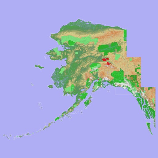
Navigate with a 3D topographic map of the USA. View detailed terrain and vector data offline. Use in vehicles or during outdoor activities. Access global maps online with automatic caching for offline use.
View 3D topographic maps of offline with vector data. Navigate by car, boat, plane, or on foot. Access worldwide satellite maps online with automatic caching. Toggle between map types and zoom to any location.
Access real-time traffic updates, incident reports, and road condition alerts from Caltrans, CHP, and 511 sources. View lane closures, weather impacts, and travel advisories.
Determine flight path relative to objects by positioning the sight target on cloud tops, mountain passes, or other aircraft. Receive visual indication of whether the object is higher or lower and the degree difference.
Track flights in real time with flight details, current location, and altitude. View aircraft models and speeds. Set alerts for specific flights. Share flight data via social media.
Schedule aircraft and manage operations with real-time availability and conflict-free reservations. Track flight time, maintenance, and usage. Log flight details and member activity. Share schedules and update logs across users.
Perform runway analysis for aircraft performance, including compliance with FAR 135/121 and EU-OPS standards. Access weather reports like METAR, TAF, and PIREP. Download NOTAMS for US and international airports.
Calculates flight metrics for takeoff, landing, climb, cruise, descent, and emergency scenarios. It includes a customizable Weight and Balance calculator with crew and passenger weight storage.
Emergency call feature allows users to contact the 24/7 Operations Centre in case of danger. Status calls notify users of nearby security incidents and offer assistance. Alerting sends emails informing users of potential risks.
The app provides insured individuals with instant access to travel insurance documents, ID cards, and worldwide medical provider searches. It also offers claim assistance, emergency contact information, and country-specific travel alerts.