

Apps Like StarFix Sextant for iPhone and iPad
StarFix Sextant screenshots
Ranked alternatives
Showing 401–420 of 1,000 ranked alternatives.


Outside Maps
Replicade Ltd.
Navigate with offline and turn-by-turn directions
View and navigate mapping data with a touch interface. Access Ordnance Survey for Great Britain at 1:50000 scale. Explore worldwide coverage with detailed topographic and road layers. Search for locations, zoom, and pan across .
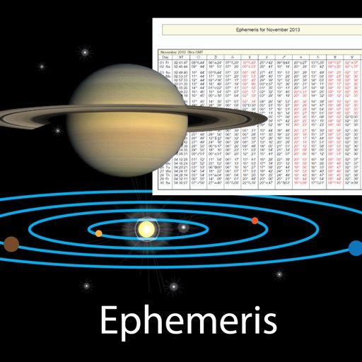
Astro Informations
Xavier Daxhelet
Track celestial positions and data
View celestial events like sunrise and sunset times, planetary positions, and declination data. Adjust date and time to check ephemeris for the Sun, Moon, and planets. Access physical properties of celestial bodies including distance and mass.

U.S. Inland Navigational Rules
The Other Hat
Essential information for all boaters.
The app provides Inland Navigation Rules for U.S. waters and the Great Lakes, featuring over 100 illustrations.
pathRecorder - come back
Gianluca Natalini
Record and return to any point.
The app records trips, allowing users to mark points of interest and return to saved locations. It can send an SOS with current position and route data, and share recorded route information via email.


Wain - وين
Qatar University QSTP-B
Intelligent map and location services application.
The app provides real-time traffic information, smart navigation, and updated parking details. It offers road-side assistance and information on events in Qatar.

Wiccan Wheel of the Year
Stuart Woolley
Sun's position for seasonal festivals.
The app computes the instant the sun reaches each festival for the user's year, location, and hemisphere. It displays sunrise, solar noon, sunset, and day length, along with moon phase and illumination.

Coin Identifier - Scanner
Derick Kwashie
Identify coins with AI image recognition
Identify coins using AI image recognition. Take a photo or upload an image of a . Compare it to a database for accurate identification. View details such as name, country of origin, and year of issue.


Pediatric Emergency Guide
Children's National Medical Center
Dose meds by weight or age
Calculate medication doses for emergencies based on patient weight or age. Access clinical scenarios or alphabetical lists for drug information. Provide guidance on equipment use and protocols for critically-ill children.

Irish Grid Ref Compass
Michael Irving
Irish Grid Reference and Map
The app displays the user's current location on a map of Ireland or Northern Ireland. It provides the Irish Grid Reference, compass bearing, and latitude/longitude in OSGB36 and WGS84 formats, along with GPS signal strength.



myXY
McGill DevTech, LLC
Organize and find saved locations.
The app displays current coordinates and altitude. Users can save locations by long-pressing the map and organize them into folders.


How we rank alternatives
Apps are ranked by functional similarity, category fit, rating confidence, and popularity.