Provides access to COLREGS and Inland , including amendments. It includes sound and light signals, steering and sailing , and other essential boating references. Users can search and bookmark regulations for quick reference.
Complete maritime navigation regulations reference.
The app provides the International Regulations for Preventing Collisions at Sea, 1972, and Inland Navigation Rules. It features an annotated table of contents, a search function, and a selected page for quick access to rules.
Study Navigation with over 1,200 practice questions covering Inland and International waters. Topics include Steering & Sailing , Lights & Shapes, and Sound Signals. Each question has detailed explanations.
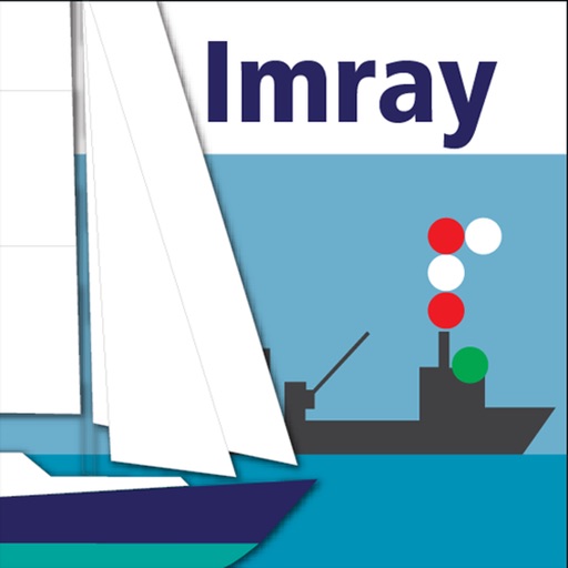
Identify and interpret navigation , shapes, and sounds used on water. Search for exact or possible matches using a "Draw-What-You-See" interface. Access a comprehensive database of maritime signals.
The app presents maritime navigation rules using interactive 3D models. Users can examine vessel lights and shapes from various perspectives to understand vessel identification and right of way for collision avoidance.
The app provides an intuitive maritime reference and learning companion for sailors. It features illustrated signals, a complete COLREGs reference, and interactive quizzes to test knowledge.
Access for the USA, Canada, UK/Ireland, Germany, Netherlands, and European rivers. View NOAA vector , freshwater lake maps, and USACE inland river maps with bathymetry data. Create or import GPX/KML routes. Use voice prompts for route navigation.
Learn COLREGS rules through interactive visuals and memory aids. Practice exam answers with customizable quizzes. Track progress with built-in assessments and review tools.
Access depth and marine charts for USA, Canada, UK, and other regions. Locate spots with AI-driven breakline analysis. Create or import boating routes with GPS and voice navigation. View HD bathymetry and sonar contours for precise planning.
The app provides a reference for maritime rules and signals, including steering, lights, sound signals, and distress signals. It also covers buoyage systems, flags, radio calls, and life-saving communications with learning cards for content review.
Track boat trips and navigate to destinations in North America. View real-time locations of friends. Access local knowledge from other boaters. Set and follow routes. Share trip details with others. Receive updates and alerts.
COLREGs offers flag identification, weather scales, cloud recognition, sound signal guidance, and vessel light details. Users can access navigation , interpret flags, and understand sound and light signals for safe boating.
The app provides illustrations and explanations for navigation rules and signals. It helps users understand vessel interactions and collision prevention, offering quizzes for knowledge testing.
The app offers an endless challenge from one simple game mode with an endearing cast of characters and a heart-warming soundtrack. It is a complete experience the moment it is downloaded.
View and download NOAA electronic navigational for offline use. Access in NOAA or ECDIS formats. Overlay NOAA weather for real-time conditions. Display buoys, beacons, lights, and natural/man-made features. Track radar and fog signals.