Track visited countries and US states with a world map and continental ratio display. Share maps on social media. Compare maps with friends. Enable classic interface for older design preference.
by VINCI APPS LTD★ 4.79,014 ratingsTravelFreeData updated 2026-09-08
Capture photos and add text or entries to document experiences. Map routes and track locations. Share moments with others. Edit and organize content within the . Export trips as digital stories or PDFs.
Track relationship memories on an interactive map. Mark visited cities, add photos, notes, and shared moments. Organize travel memories visually and build a timeline of experiences together.
Receive guided audio commentary based on real-time location. Listen to local experts share history, culture, and hidden tips. Navigate tour routes with interactive maps and track progress along the way.
Explore country maps with detailed location data and access comprehensive fact book information. Search for country-specific details, view retina vector maps, and navigate between locations with intuitive zoom and pan features.
Record travel locations and view them on a personal map. Track visited cities, states, and countries. Save future destinations. Sync data across iOS devices via iCloud.
Stay connected with technology for global cellular access. Activate local SIMs in over 200 countries. Avoid roaming charges by using virtual SIMs. Manage data plans and network preferences remotely.
The app supplements the default iOS Maps app. It displays businesses, stations, streets, locations, and monuments on Apple Maps and provides walking or driving directions.
Track routes and locations with automatic mapping. Save and share logs. Mark visited spots on interactive maps. Set reminders for future visits. Export trip details as printable maps or digital files.
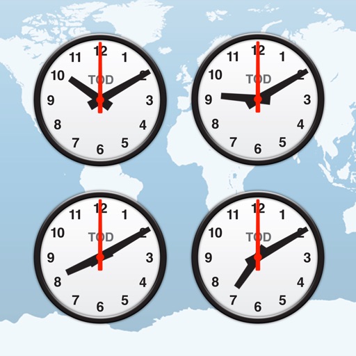
Track time zones with a world clock displaying 64,000 cities. View interactive maps with customizable themes. Check moon phases and enable clock chimes. Use location tracking to update time based on current position.
Plan flights with route mapping, fuel calculations, and weather data. Track aircraft in real time. Access offline maps and charts. Set flight parameters and monitor navigation. Share flight data with other .
Track progress on hiking to the highest points of each U.S. state and territory. View peak details, check in upon reaching the , and share photos and updates with friends.