Access GPS navigation and land ownership data for fishing. Locate lakes with detailed fisheries information. View satellite imagery and apply filters for ice fishing. Find trails, access points, and land ownership details.
Track location and navigate using GPS. View real-time map movements. Share location with other hunters. Manage hunting areas and group activities. Access downloadable USGS topographical charts. Set and follow navigation points.
The app displays device orientation to magnetic fields. It provides location coordinates, course, speed, altitude, weather information, date, time, and map views.
Order taxis in Montreal, its north and south shores, and Gatineau. View driver information and vehicle details. Track driver location on a map. Automatically pay via smartphone. Rate the trip after completion.
Navigate using drive and walk routes with real-time time and distance calculations. Search by address, place, or coordinates. View satellite maps and direction. Share locations, use compass, and track GPS.
Explore maps with detailed satellite views, hiking trails, and topography. Navigate transport networks and view railway routes. Access terrain analysis and seas. Customize map layers for OpenStreetMap and tile-based maps.
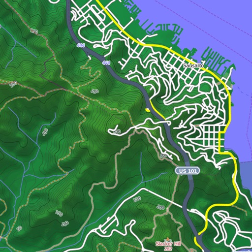
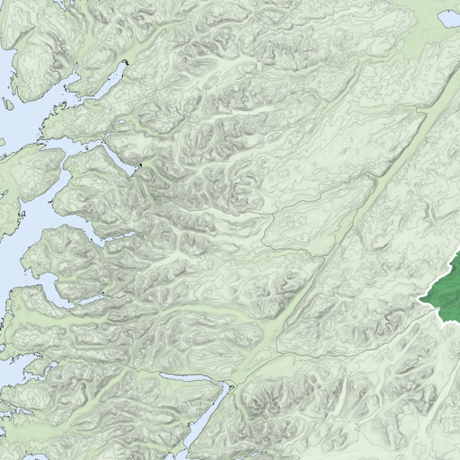
View and download detailed maps with topographical hillshading and contour lines. Store maps for offline use. Navigate using detailed terrain features. Find hiking trails, ski runs, and back streets.