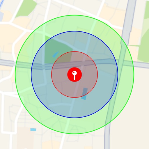
Visualize around map pins to compare distances. Set up to three per pin. Search locations and check nearby points of interest. Switch between standard and satellite map views. Automatically save pins for future reference.
View real-time camera images and incidents in major US cities and Singapore. Track daily commutes to receive alerts about disruptions on frequent routes. Access official data in the US, Australia, and Western Europe.
Track aurora activity with real-time forecasts and cloud coverage maps. View interactive layers for aurora predictions and weather conditions. Watch live webcams from around the world to observe the aurora in real time.
The app provides worldwide marine and outdoor maps, satellite imagery, and terrain overlays. It includes local marine weather forecasts and community information for boaters.
And share precise details with exact coordinates. Store locations with associated dates. Retrieve saved locations to navigate back easily. View history and access saved addresses for future reference.
View tracks, routes, and waypoints from GPX files. Display maps with options for map, satellite, or hybrid views. Open files from Safari or other apps. Support multiple formats including GPX, TCX, LOC, NMEA, and TRACK. Sync files to iCloud.
Track earthquakes and alerts with real-time data updates. View global locations on an interactive map with zoom and satellite views. Analyze activity trends, depth, magnitude, and disaster impact through an advanced dashboard.
Monitor electric vehicle state of charge, door/trunk/hood status, tire pressures, temperatures, and system temperatures. View live GPS location and check vehicle status remotely.
Navigate using a 3D topographic map of the USA with offline access. View vector map data without internet. Use in vehicles or during hikes. Switch to global online maps with automatic caching for areas without coverage.