

Apps Like Apex Mini Map for iPhone and iPad
Apex Mini Map screenshots
Ranked alternatives
Showing 421–440 of 1,000 ranked alternatives.

Compass XXL
ExaMobile S.A.
Rotate , find direction, navigate trails
Use to determine directions and navigate. Rotate device 360 degrees for orienteering. Access camera preview to align with surroundings. Set bearings and track movement without GPS.






Speedometer GPS Running Track
永刚 陈
Speed, odometer, and altitude with GPS
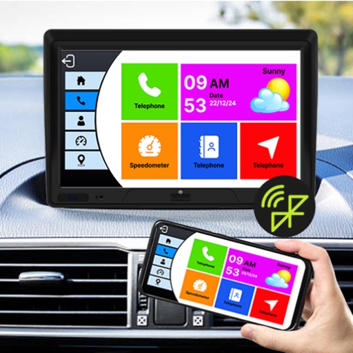
Trips with modes for walking, , and biking. View speed, distance, and elevation via GPS. Use HUD mode to display speed on the windshield. Monitor odometer and altimeter readings. Export trip data and set distance alerts.


PetStop: Dog Road Trip Planner
STEVEN DANIEL MOYER
Plan trips with pet-friendly stops
Plan trips with pet-friendly stops along your route. Find evenly spaced dog parks, rest areas, and pet-friendly locations. Get multi-stop directions with recommended break points based on distance and amenities.



Scenic Map Western USA
Mark Granger
Explore 3D maps offline worldwide
Navigate using a 3D topographic map of the USA and Hawaii. Access offline vector maps for navigation in vehicles or outdoors. Switch to online maps for global coverage with automatic caching. Explore locations with zoom and scroll features.

Structure Capture, 3D Scanning
XRPro, LLC
Scan and save 3D models
Capture allows users to scan bodies or objects for clinical and professional applications. It uses 3D technology with Sensor 3 or TrueDepth/LiDAR cameras. Scans can be saved, shared, and integrated with design software.

Maplet - Location Pins
Gemsheer Chalil
Save locations with and notes
Save and organize locations with titles, notes, photos, and voice memos. Create folders to group locations. Share across major map apps. Track and manage work sites, travel stops, or personal places. Set private access and view details.

Eclipse Run
Martine Habib
Find viewing spots
View maps showing the zone of visibility for the August 12th 2026 . Identify locations within the totality path and see approximate duration at each spot. Access the path of maximum totality with over 2 minutes of coverage.
How we rank alternatives
Apps are ranked by functional similarity, category fit, rating confidence, and popularity.