Track trails with precise GPS mapping and save waypoints. Measure distances and elevation changes. Share routes and view real-time navigation updates. Sync with other devices for collaborative exploration.
Find hikes or ski tours tailored to your preferences. Create and save personalized routes using the route planner. Track outdoor activities with precise GPS navigation. Access detailed maps for the Alpine region.
Navigation allows users to plan trips and navigate without cellular service. View and edit maps based on OpenStreetMap data. Search waypoints and save locations offline. Track routes and share maps. Prioritize privacy with no user identification.
Measure distances and angles using a rangefinder and inclinometer. View real-time compass direction and GPS location. Overlay maps and take geo-tagged photos or videos. Calculate navigation routes and track elevation changes.
Reference "Access up-to-date transit data and maps. Search routes and transfer options with timing, cost, and distance details. Get real-time navigation and nearby station info. View service details and operate offline without internet."
Track routes and save photos or videos taken during trips. Share live with friends. View real-time bearing and distance to waypoints. Join regattas and see racecourses. Monitor progress and save media alongside data.
Record outdoor activities with topographic maps, waypoints, and elevation tracking. Log mileage, speed, time, and moving averages. Set breaks and receive audio alerts for splits and off-trail notifications. Import GPX files and auto-follow last .
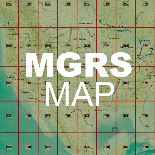
Capture photos and overlay custom titles, MGRS grid, coordinates, UTC/local time, and altitude. Choose which data to include. Save images or share them via text.
Plan trips to parks with downloadable and guides. Access 400+ parks, 340+ folded from various agencies, and 5,000+ campgrounds. View MVUM, MVTM, and visitor for national forests.
The app provides coordinate reading and navigation for users needing exact position data. It supports multiple coordinate formats and works without a connection for conversions and saved places.
Calculate distances and areas using GPS coordinates. Place markers on a map to measure distances between points or total of a route. Delete markers by tapping them. Export results for further use.
View topographic of for hiking, camping, and outdoor activities. Choose between Base Map and Toporama sources. Download for offline use. Track location, elevation, and movement on the map.