View marine with satellite and terrain overlays. Access local weather forecasts. Use NOAA raster for navigation. Track position and route. Share maps and waypoints. Work offline without mobile coverage.
The app provides professional maps for outdoor activities like hiking and cycling. It offers offline map storage, GPS tracking, and access to certified tours with detailed descriptions for planning adventures.
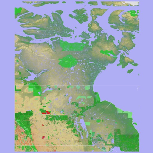
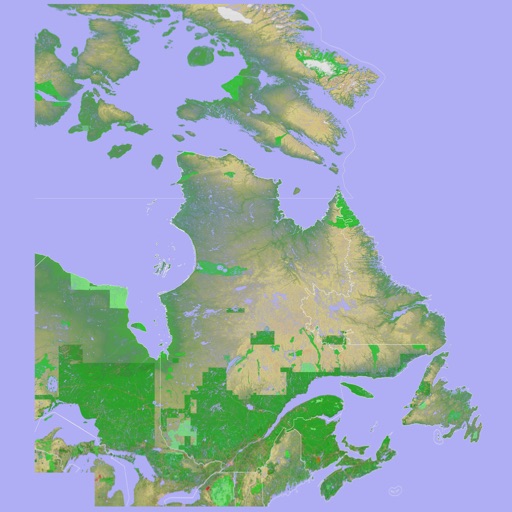
The app presents a 3D topographic map of Eastern Canada. Users can download map data for use without an internet connection, suitable for various travel methods.
The app provides offline topographic map coverage of New Zealand's South Island. It includes satellite images, elevation data, and integrated data for various outdoor activities.
Turn your iPhone or iPad into an outdoor GPS or marine chart plotter. Use detailed Topo maps or NOAA marine charts for navigation. Access maps offline without a network connection. View GPS location without mobile signal.
Access detailed nautical charts with C-MAP® for route planning and GPS navigation. View weather data and marine traffic. Set personal waypoints and record tracks. Explore thousands of pre-loaded points of interest.
Access HD for USA, Canada, UK/Ireland, Germany, Netherlands, and European rivers. View NOAA vector , freshwater maps, and USACE inland river maps with bathymetry. Create or import GPX/KML routes. Use voice prompts for navigation.
Navigate with smart route planning and real-time traffic updates. Access 3D offline maps and precise estimated time of arrival. Receive speed camera warnings and traffic alerts. Support for , HGV, RV, and other large vehicles.
Navigate trails and routes for hiking, biking, and running. Access detailed maps of national parks and coastal paths. Find local neighborhoods and new trails. Plan routes with turn-by-turn directions. View elevation profiles and track progress.