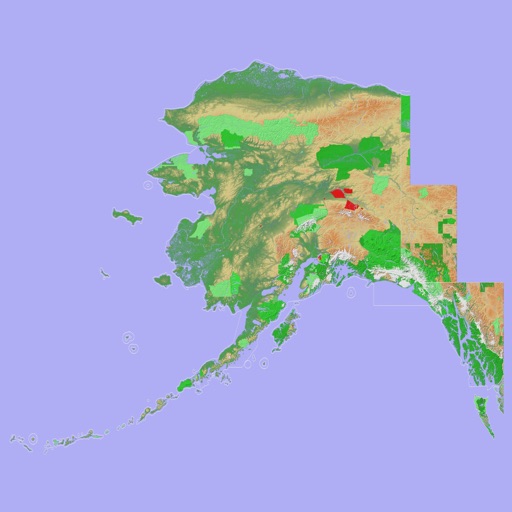
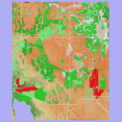
Navigate with a 3D topographic map of the USA. View detailed terrain and vector data offline. Use in vehicles or during outdoor activities. Access global maps online with automatic caching for offline use.
View 3D topographic maps of offline with vector data. Navigate by car, boat, plane, or on foot. Access worldwide satellite maps online with automatic caching. Toggle between map types and zoom to any location.
Navigate using detailed topographic and over 900,000 searchable points of interest across Canada. Plan routes, view terrain features, and access trail information. Mark locations, save waypoints, and track progress. Share and coordinates with others.
Plan hunts with detailed LiDAR maps, satellite imagery, and deer movement predictions. Access land boundaries, ownership data, and parcel change alerts. Customize LiDAR layers and overlay crop data for strategic scouting.
Allow users to explore locations without an internet connection. They include detailed global with millions of points of interest. Users can download for use and bookmark favorite locations. GPS tracking enables recording of travel routes.
Access nautical charts, view tide predictions, and check weather forecasts. Locate marinas, fuel stations, and points of interest. Share real-time updates and connect with other boaters for navigation tips and safety alerts.
Track runs with visual maps and color-coded speed indicators. View stats including distance and elevation. Check forecasts and trail conditions. No sign-up required.
View topographic of the United States with options for standard or hybrid map sources. Download for offline use and track current location on the map. Navigate using map features and explore terrain details for outdoor activities.
Navigation allows users to explore and select from various outdoor activities including hiking, running, biking, and more. Record custom routes on a map, add waypoints, and capture photos along the way.
View 3D terrain with elevation details. Plan routes using detailed topographic . Access footpaths and natural features. Track progress with distance and elevation metrics. Share and routes with others.
The app provides 3D topographic maps for iPad and iPhone. Vector map data is contained within the app for offline use, supporting navigation in various environments.
Find and explore walking, hiking, jogging, and outdoor fitness trails with detailed maps, GPS navigation, and trail guides. View user reviews, photos, and expert tips. Plan routes and track progress with real-time location updates.
Plan and navigate off-road trips with detailed trail guides, GPS , and route planning tools. View trail difficulty, elevation, and user reviews. Save and share routes. Track progress and receive turn-by-turn navigation without internet.
Find spots and explore trout streams with interactive GPS maps. Navigate public access areas and view detailed maps of over 50,000 streams. Save custom markups for offline use and get GPS directions.
View detailed with offline access. Search for locations by address or category. Plan routes considering road preferences and vehicle size. Track inclines and record GPX tracks. Customize data access and privacy settings.
Record outdoor activities with topographic maps, waypoints, and elevation tracking. Log mileage, speed, time, and moving averages. Set breaks and receive audio alerts for splits and off-trail notifications. Import GPX files and auto-follow last .