Apps Like Map Distance Measurement for iPhone and iPad
Measure with GPS
Record and display GPS-based measurements with a map line. Share results on social media. Obtain current location via GPS. Option to minimize battery use without GPS. Does not run in the background.
by SHIGETO TAKAGI★ 4.461 ratingsUtilitiesFreeData updated 2026-09-08
Shenzhen Well fitness Management Technology Co., Ltd.
Track fitness data and sleep quality
Track fitness activities with GPS positioning and sync data from smart bracelets and watches. Monitor sleep quality and daily movement. Adjust settings for battery efficiency and receive real-time health insights.
Track your car’s location using GPS. Receive alerts when your car is moved. Share real-time location with others. Set up custom geofences. Get turn-by-turn navigation to your car’s location.
Share real-time location with contacts via phone number or email. View others' locations from any web-enabled device without needing an . Request ' locations or share your own for tracking.
Manage GPS tracking for vehicles, valuables, and people. View real-time locations, receive alerts, and access historical data. Set up tracking profiles and monitor multiple devices from a single account.
Track real-time and share it with friends. Copy coordinates and perform actions on . land area using GPS and calculation tools. Find routes with distance and direction calculations.
Receive instant alerts when drag occurs or GPS signal weakens. Manually adjust position on the map or input coordinates from another device. Set alarms if forgotten after dropping .
Track acceleration and speed metrics automatically
Measure acceleration times like 0–60 mph and 1/4 mile without extra hardware. Set up measurements before starting the vehicle. Automatically record results when target speeds are reached. Save data locally or export to other devices.
Find locations and points of interest with detailed search. Navigate using turn-by-turn directions for driving, motorcycle, and public transport. Support Apple CarPlay and multi-mode routing. Track real-time traffic and road conditions.
Distances using Augmented Reality. Tap to place markers and calculate lengths. Undo measurements. Choose different colors for markers. Take screenshots. Switch between metric and imperial units.
Distances on maps by tapping to add route points. Calculate length of roads, buildings, or areas. Get accurate calculations without needing existing routes or ground features.
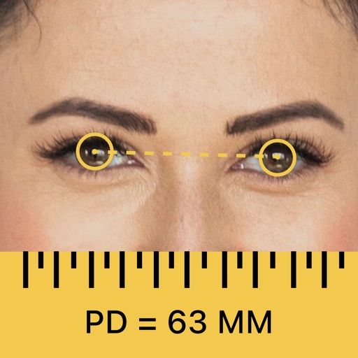
Measure pupillary distance and lens height for accurate eyewear fitting. Perform far and near PD measurements with smart calibration. Use virtual try-on features and manage multiple user profiles.
GPS displays speed, altitude, and track data with real-time profiles. Logs activity in sleep or background mode. Stores recorded tracks for analysis and map display. Shares tracks across devices via iCloud.
Access detailed nautical charts with C-MAP® for route planning and GPS navigation. View weather data and marine traffic. Set personal waypoints and record tracks. Explore thousands of pre-loaded points of interest.
Find trails with detailed GPS routes, elevation profiles, and interactive maps. View photos and expert insights for each trail. Search for hikes by location or area. Plan routes with suggested highlights and difficulty levels.
Explore mountain biking trails with offline maps and GPS route details. View elevation profiles and interactive features. Access photos and expert recommendations for rides near you or in searched locations.
Distances between points or calculate area of locations. Draw paths on maps or tap to add points. Record movement automatically while walking, running, or cycling. Save measurements for later review.
Display maps using GPS and MGRS coordinates. Measure distances and bearings between points. Save and share location data. View terrain and elevation details. Navigate with compass and grid alignment.
PD+ captures and processes a high-resolution facial photo to measure . It provides far and near PD measurements for both binocular and monocular use. It also measures fitting heights for current frames to ensure accurate lens prescriptions.