The app measures distance, area, and perimeter on a map using manual input or GPS tracking. It allows users to label, save, and share points in KML format, and check bearing and geo-coordinates.
Measure objects using screen or AR camera for precise dimensions. Switch between inches, centimeters, and millimeters. Capture and save measurements for later reference. Share results via email or messaging.
Arthur Eduardo Skaetta Alvarez Desenvolvimento de Software LTDA.
Distances and areas with GPS
Distances and areas using satellite images. Tap the map to add markers and calculate distances or enclosed areas. Search for addresses to locate measurement points. Support multiple units including square feet and square meters.
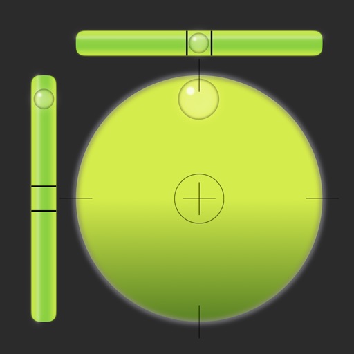
Allows users to check horizontal and vertical alignment. Features include circle mode for simultaneous angle measurement, vertical mode for ensuring surfaces are straight, horizontal mode for flat surfaces, and mix mode combining all functions.
Measure distances and areas with precise tools. Use the ruler and square area functions. Change units of measurement. Save measurements for later. Access tips and advice. Remove ads with a subscription. Measure height with the professional package.
View and edit DWG, DWF, DXF, and PDF files. Perform precise measurements with 8-digit accuracy. Add annotations and export drawings. Share files and access a large TTF font library. Print drawings directly.
Create floor plans by scanning interiors with LiDAR. Automatically detect walls, windows, and doors. Edit plans in real time. Share finished plans directly from the . Requires a LiDAR-equipped device and paid subscription.
Distances, areas, perimeters, angles, and circle parameters using photos. Define measurement planes in 3D space. Adjust for non-parallel planes. Export measurement data. Share results directly.