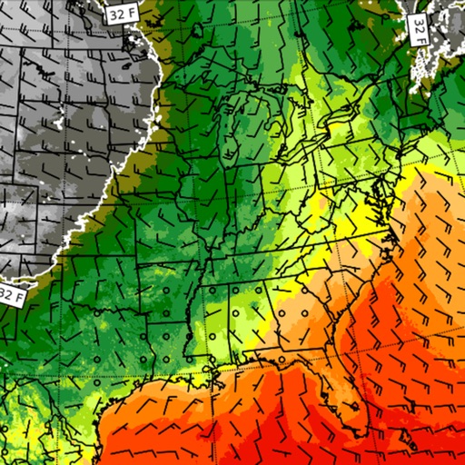
Monitor activity with satellite detection, thermal imaging, and weather forecasts. Track large points, view potential indexes, and access national incident reports. Check danger ratings and expected large fires per region.
Track live activity and view real-time weather updates with radar. Receive warnings and follow development paths for current and upcoming events. Monitor severe weather patterns including hurricanes, tornadoes, and typhoons.
View live weather radar and satellite imagery. Track precipitation types and lightning. Access high-resolution forecasts using advanced models. Set location-based alerts. Share weather data with others.
View real-time maps for current conditions. Check hourly and daily forecasts. Receive severe alerts and outlooks. Track precipitation, temperature, and wind speed. Customize radar settings for specific locations.
Track hurricanes, tropical storms, and typhoons with real-time updates and detailed forecasts. Receive push notifications for severe weather alerts. View storm paths, wind speeds, and rainfall data. Share alerts with family members.
View satellite imagery updated in near real-time. Track hurricanes, storms, and severe . Monitor wildfires and smoke. Explore current and forecasts for rain, wind, temperature, and pressure. and interact with global maps.
View detailed NWS/NOAA forecasts with a tap on the map. Access 7-day forecasts including text summaries, spot and zone , snow accumulation, and severe hazards.
The app presents current weather conditions, 3-hourly, and daily forecasts for any town. It also offers near real-time local and animated wide-area satellite views.
Stay updated with local news, weather forecasts, sports scores, and entertainment updates from Jacksonville. Receive push notifications, customize categories, and share articles directly.
View real-time maps for severe alerts. Check hourly and daily forecasts. Track precipitation, temperature, and barometric pressure. Receive storm and disaster warnings. Monitor current conditions and historical data.
View current and forecasted weather with hourly and 14-day predictions. Access Doppler and real-time visuals. Use Premium Widgets to display critical weather data. Track severe weather alerts and details.
Access real-time buoy data and 5-day forecasts from NWS. View 6-hour wave trends and 7-day hourly wave and tide predictions. Overlay NOAA maps and check offshore zone forecasts. Receive detailed NWS discussions and use the Apple Watch for alerts.
The app displays river stage height and flow rate for over 12,000 active gauges across the USA. It provides official flood warnings and alerts from the National Weather Service, with color indicators for river conditions.
View real-time maps and track tropical cyclones. Explore global cloud patterns and hurricanes. Access forecasts and world for cities. Display a 3D simulation of with accurate star renderings. Rotate and zoom the for different perspectives.
Access real-time alerts from NOAA, view interactive maps for current conditions, and find nearby Red Cross shelters and services. Retrieve step-by-step preparedness guides for tornadoes, hurricanes, and other emergencies.
View and current predictions without an internet connection. Access daily, weekly, monthly, and yearly graphs. Monitor multiple stations. Receive high and low alerts. Sync with Apple Watch for notifications.