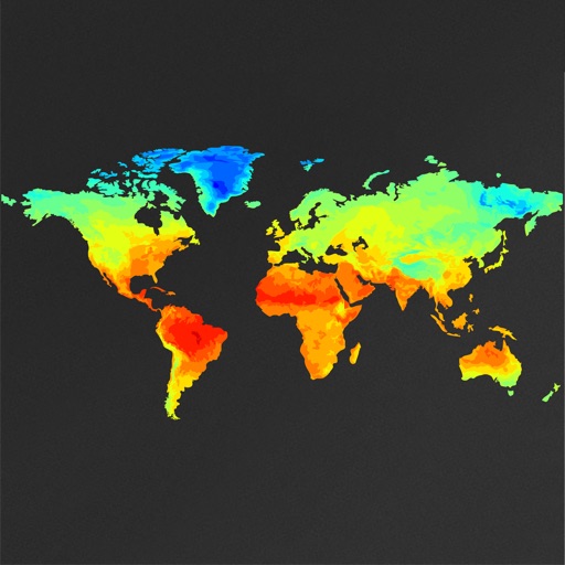
View global weather data with interactive map panning and zooming. Switch between weather layers for current and forecasted conditions. Track detailed weather changes up to 0.25 degrees on land or sea.
View turbulence reports and overlays on Apple Maps. Access hundreds of aviation and weather maps. Filter turbulence data by time and altitude. Share turbulence maps with others. Retrieve detailed turbulence information with a tap.
Check current and upcoming weather forecasts for up to 8 stored locations. View hourly and daily forecasts, radar, satellite, and charts. Receive hazardous weather alerts and snowfall predictions. Access air quality and ultraviolet indexes.
Log time segments and calculate total time with Time. View block and duty intervals to manage scheduling. Perform preflight performance checks using aviation-specific calculations.
The app offers local weather data and forecasts for Canada and the USA. It presents current conditions, hourly forecasts, and radar information with watches, warnings, and alerts.
Pilots can retrieve information by defining departure and destination airports. Apply filters to narrow results. View NOTAMs in text format or on an interactive map. Translate NOTAMs into multiple languages.
The app provides current FAA aviation charts updated every 28 days, including approach plates for the USA. It offers VFR, IFR, and other chart types, with METAR/TAF and IFR overlays.
View tide charts, wind direction, and swell alerts. Check 7-day forecasts with detailed wave height and period data. Set custom alerts for changing conditions. Track real-time reports and share forecasts with other users.