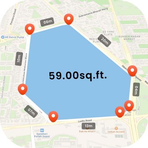
Measure land , distance, and perimeter using GPS and satellite maps. Define boundaries by placing points or walk the perimeter for hands-free tracking. Save and export measurement data for professional use.
Create customizable templates for reports. Input data directly into pre-designed formats. Generate professional reports with minimal manual effort. Save time by automating repetitive documentation tasks. Export reports in multiple file formats.
Connect with clients and manage leads automatically
Schedule and send automated email newsletters and social media posts to maintain client engagement. Track client interactions and set follow-up reminders. Integrate with calendars to schedule outreach and manage leads.
Send event invites via link, email, or text. Collect RSVPs and manage guest lists. Allow guests to view attendees or act as admins. Create a custom event page with header images, logo, and description.
Create a professional profile to showcase skills and experience. Search for job openings matching your qualifications. Apply directly and communicate with employers through the . Access job listings from local companies and track application status.
Measure areas and distances using GPS with real-time accuracy. Calculate land plots, fields, or property boundaries in multiple units including square meters, square feet, and acres. Add multiple points on a map to define custom shapes.
Create resumes using customizable templates and formatting options. Add work experience, skills, and education. Export in PDF and Word formats. Share via email or cloud storage.