
Hot Air
Cato Technologies LLC
Balloon flight companion for pilots.
The app provides balloon flight planning and tracking. It offers waypoint navigation, wind profiling, and flight recording.

Showing 121–140 of 1,000 ranked alternatives.
Cato Technologies LLC
Balloon flight companion for pilots.
The app provides balloon flight planning and tracking. It offers waypoint navigation, wind profiling, and flight recording.


Catspaw Systems LLC
Track atmospheric pressure in real-time.
The app draws realtime charts of atmospheric pressure using the iPhone's barometer. It allows users to view pressure trends, set alarms, and receive alerts for pressure changes.


TECHISTIC LTD
Track , distance, and performance
Track , distance, and performance with real-time GPS data. Display in mph and km. Log trips and view historical records. Set alerts and monitor journey details. Sync data across devices for ongoing performance analysis.


Generative Pictures LTD
Navigate with accurate GPS and coordinates
Display GPS coordinates in DMS, DDM, or DD formats. Show altitude in feet or meters. Track speed with a speedometer. Share coordinates. Switch between magnetic and geodetic north. Use flashlight for nighttime. Provide location data.

Jeonghwan Kim
Find and share locations instantly
Find and share locations with a map interface. Pin locations to view coordinates or addresses. Select transportation options to share real-time location updates. Quickly check current location or specific destinations with minimal clicks.

Applorium Ltd
Calculate distances and areas on a map
Calculates distances between map points and areas of non-overlapping polygons. Users can switch between metric and imperial units. Coordinates are displayed in decimal or degrees, minutes, and seconds.


Beijing Elinasoft Technologies Company Limited
Monitor network, clean device, block ads
Monitor network status and device information. Clean storage with phone and tablet . Block Safari ads. View battery and charging animations. Access photo editing tools. Securely store sensitive data in a vault.

Islamic Affairs & Charitable Activities Department
Track celestial events and prayers
Calculate prayer times based on Islamic Sharia-compliant criteria. Display Qibla direction using augmented reality. Show prayer times for over 50,000 cities across 190 countries. Include features for people of determination.
Peter Breitling
Check height using barometer sensor.
The app measures height using the iPhone barometer sensor and current pressure. It can use the nearest weather station or a manual reference, and also displays the current temperature.
Dapperfinch Inc.
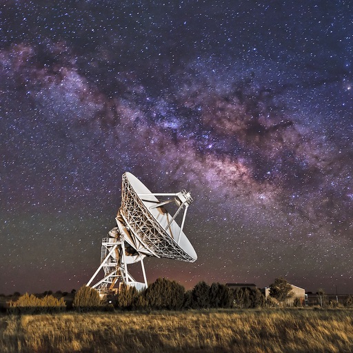
Look up celestial coordinates in real time
View coordinates for celestial bodies including planets, the Moon, the Sun, stars, and deep sky objects. Check if objects are above the horizon with a green icon. Click to access detailed information.

永刚 陈
Measure with AR and track distances
Use AR for length and distance measurements. Measure height with AR technology. Check decibels, angles, and level accuracy. View HD and compass directions. Monitor barometric pressure and altitude. Use with adjustable brightness and strobe.

Mike East
Plot 3D terrain and save measurements
Measure and map 3D terrain with X, Y, and Z coordinates. Save, email, or upload data to CAD. Calculate slope percentages and elevation above sea level. Include photos with location data and use built-in compass for accurate orientation.

MATRIKS GRUP, TOV
Track speed, get alerts, view speed limits
Display speed limits and alert for overspeeding. Show speed camera locations and distance. Provide average and maximum speed tracking. Include odometer and unit selection for KMH/MPH. Display current road name, weather conditions, and temperature.

CHENGDU MIAOZHI TECHNOLOGY CO., LTD.
Track speed and journey details
Track speed, distance, altitude, and heading using GPS. View latitude and longitude coordinates. Monitor sunrise and sunset times. Record acceleration data. Save journey logs for later review. Share trip details via email or social media.

Prestige Worldwide Industries, LLC
Track shots and weather conditions
Track shots and environmental conditions including wind speed, elevation, temperature, humidity, and ground conditions. Receive precision club recommendations based on shot shape and environmental data.

玉彬 陈
Add watermarks to photos and videos
Add accurate date, time, and GPS watermark to photos and videos. Sync with network time for real-time stamps. Edit watermarks manually. Share files with location data preserved.
Apps are ranked by functional similarity, category fit, rating confidence, and popularity.