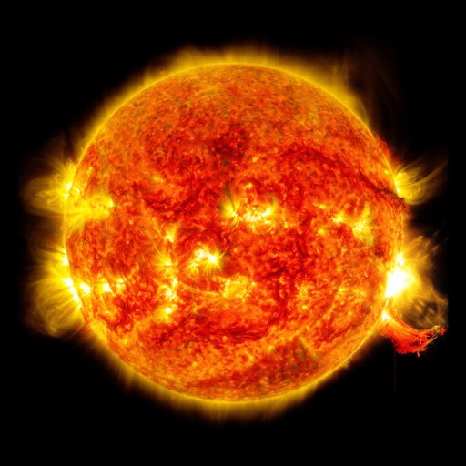
Plan sessions by analyzing sunrise and sunset times, moon phases, and star visibility. Calculate optimal shooting angles and lighting conditions. Track celestial events and weather patterns to prepare for ideal shooting opportunities.
Helps users find Polaris or Sigma Octantis for polar alignment. It displays current direction, elevation, latitude, longitude, and altitude. Users can check alignment status and adjust setup accordingly.
Navigate with precision and explore trails efficiently
Navigate with multiple styles, including analog and digital interfaces. Set and track waypoints, view elevation data, and receive turn-by-turn guidance. Sync with GPS devices and share route maps.