Measure areas and calculate distances using GPS. Draw polygons on maps to calculate field areas. Save and share data. Access detailed maps and satellite imagery for accurate surveying.
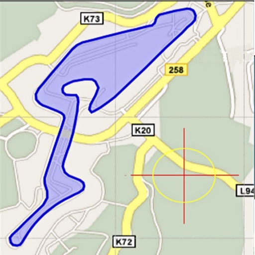
Area, lengths, and angles on maps using an interactive crosshair. Trace outlines to create connected points, updating area and perimeter in real time. Adjust radius for scaling features. View dynamic length and angle as you move the crosshair.
Convert values between units in 22 categories including acceleration, angle, area, and data storage. Support currency exchange for 160 currencies. Search units by category or globally. Bookmark frequently used conversions.
Calculate using coordinates with options for square meters, feet, acres, hectares, kilometers, and miles. Measure distance between points. Premium users can save areas, add notes, attach images, and calculate prices based on values.
Track , speed, time, and altitude in real-time using GPS. Start, pause, resume, and save walks directly from Apple Watch. View detailed stats and interactive maps of each walk.
The app offers unit and currency conversion across hundreds of categories. It includes mortgage, loan, and tip calculators, with the ability to edit, add, or download templates.
Plan routes with real-time updates and map views. Search for stations and schedules. Receive notifications about delays and service changes. View step-by-step directions and transfer information. Check fare details and payment options.
Track your car’s location using GPS. Receive alerts when your car is moved. Share real-time location with others. Set up custom geofences. Get turn-by-turn navigation to your car’s location.
Calculate distances and areas using GPS. route lengths and track movement. Access GPS Camera, Compass, and Speedometer for navigation. View Satellite, Normal, Terrain, and Hybrid maps. Locate nearby points of interest and monitor live positions.
Record and display GPS-based measurements with a map line. Share results on social media. Obtain current location via GPS. Option to minimize battery use without GPS. Does not run in the background.
Calculate sunrise, sunset, moonrise, and moonset times for your location. Track solar noon, day length, and equation of time. View declination, twilight phases, and azimuth angles. Monitor seasonal dates, solstices, and equinoxes.
Check current using internal GPS and Wi-Fi data. View latitude and longitude in decimal degrees, degrees decimal minutes, and degrees minutes seconds. Suitable for trips, sports, geocaching, and solo travel.
Get precise forecasts for any location using GPS or manual input. View 7-day forecasts with hourly updates and detailed metrics like temperature, precipitation, wind, and rainSPOT. Access 5-day meteograms and track predictability.