Track current with coordinates, altitude, and address. via Facebook, Twitter, Mail, Message, or copy to paste elsewhere. Use compass mode to determine direction. Toggle between Standard and Hybrid map types.
Capture photos with embedded GPS coordinates, date, and time stamps. View map overlays and location details directly in images. Share geotagged photos with precise timestamps and location data.
Plan and track outdoor routes with 3D terrain views. Measure elevation changes and distance. Save and share custom trails. Access real-time GPS navigation and offline maps. Adjust routes based on elevation and difficulty.
Record routes for walking, running, or traveling. Manually adjust positions along the . Add GPS coordinates to photos without using photo editors. Track movement and save location data for later reference.
Track vehicles in real time with real-time location updates. Select a single vehicle for focused monitoring. View speed in miles per hour with color-coded indicators for movement and speed limit violations. Switch between map and satellite views.
The app looks up any latitude/longitude coordinate on the earth's surface and displays it on a satellite image or map. It is useful for finding a location specified only by its coordinates or to map out a SIGWX area.
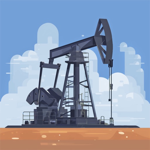
Search for oil wells across 20 states and view produced oil, water, and gas data. Filter wells by location and type. Export details and track production metrics. Navigate to sites using map views.
Track mountain hikes with in- GPS, recording vertical gain and current elevation. Browse, search, and filter 600,000 peaks across 50 map layers, including topo and satellite views. Save hikes, collect peaks, and share progress with others.