
Paintball Commander
Mikael Johansson
Team coordination on a live map.
The app displays all teammates on a live map, showing their real-time movements. Users can mark the ground and coordinate actions directly from the field or sideline.

Showing 121–140 of 1,000 ranked alternatives.
Mikael Johansson
Team coordination on a live map.
The app displays all teammates on a live map, showing their real-time movements. Users can mark the ground and coordinate actions directly from the field or sideline.

Nicolas Schotten
Create maps, add pins, share codes
Create unlimited maps and add pins, emojis, and images to each. Share maps with friends via code. Never forget locations with visual markers and personal notes.

Core Coders Ltd
Record rides and save maps offline
Record cycling rides with offline maps and GPS tracking. Add routes via GPX files or existing rides. Overlay routes on maps. View climb categories and ride history without internet. Import photos and attach to rides. Sync with Health .


Jason Attard
Locate your coordinates instantly
Display and coordinates using iPhone GPS. Show precise location data instantly. Provide clear, minimalistic interface for quick reading of geographic coordinates. No unnecessary features or tabs.

Solve It Marketing Company Llc
Track location without cellular service
Track location in real time without cellular service or WiFi. Start and stop tracking instantly without login. View maps, waypoints, and route history. Export data in multiple formats. Share tracks with others.

GoSoftWorks Development Co.
Track satellites and view real-time passes
Track satellites in real time with world map and overhead sky views. Identify satellites and the International Space Station with orbit . Determine dish orientation for geostationary satellites using GPS. View passes for any location.

Shuksan Software, LLC
Track storms and view real-time data
View real-time data with 250-meter resolution for the continental U.S. Access raw Nexrad Level 3 station data for detailed products. Switch between mosaic views and individual types like reflectivity, velocity, and polarization.


Pasi Salenius
Explore maps, track trails, navigate outdoors
View topographic, nautical, and aerial maps. Save locations as markers syncing across devices via iCloud. Measure distances, draw paths, and use Look Around to navigate. Explore preloaded maps for hiking, hunting, and outdoor activities.

Trackhawk LLC
Track vehicles in real time and receive
Monitor vehicle locations in real time. Receive alerts on your phone. Optimize routes to reduce costs and improve service. View event history as a breadcrumb trail. Enable ignition kill switch remotely.

Bist LLC
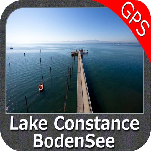
Navigate with voice prompts and chart support
Access vector and raster for . Create or import GPX/KML routes. Use voice prompts for route guidance. View tide and current predictions. Rotate with text remaining upright. Supports chart course orientation.


3D RealityMaps GmbH
Track routes and explore 3D maps
Plan and track outdoor routes with 3D terrain views. Measure elevation changes and distance. Save and share custom trails. Access real-time GPS navigation and offline maps. Adjust routes based on elevation and difficulty.

Flytomap
View maps, navigate routes, track location
View detailed and with vector-based maps that remain clear at any zoom level. Pan, tilt, and rotate for an immersive experience. Purchase additional features within the for expanded functionality.
Apps are ranked by functional similarity, category fit, rating confidence, and popularity.